In Mid September my travel companion and I spent 8 nights in the greater Yellowstone area driving over 1500 miles and staying in 5 different towns. The towns, some key locations and our general route can be found on the embedded map.
Day 1 - Gardiner MT to Red Lodge
Day 2 - Red Lodge to Cody
Day 3 - Cody to Jackson
Day 4 - Grand Teton National Park
Arriving to Gardiner later than expected we checked into our hotel and got some dinner before turning in early for our first day in the Park
Day 1 - Gardiner MT to Red Lodge
This was supposed to be a pretty straightforward forward day drive from Gardiner through Yellowstone to Cooke City then over the Beartooth Highway to Red Loge MT for the Night. However one of our bags was delayed so we knew we had to loop back to Bozeman in the afternoon to retrieve it.
Up at 5am to head into Yellowstone and drive to Lamar Valley for Sunrise and hopefully some wildlife.The weather was cloudy and overcast and although we saw several groups of people with spotting scopes, they told us that there was a bear on a grassy hill across the valley. I wasn’t able to find it with my camera or binoculars so it turned into a Bison morning.
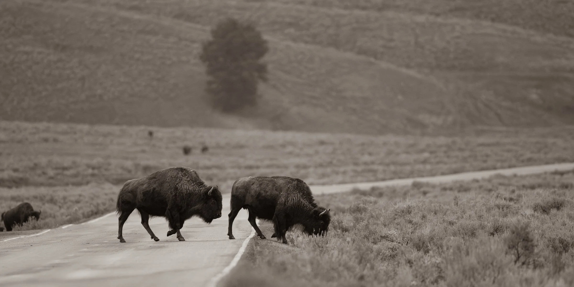
A pair of bison crossing the road.
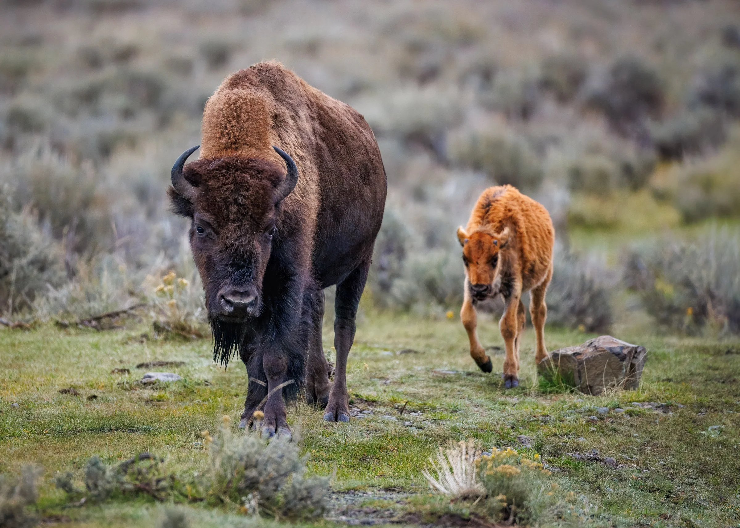
A cow with her Red Dog in tow.
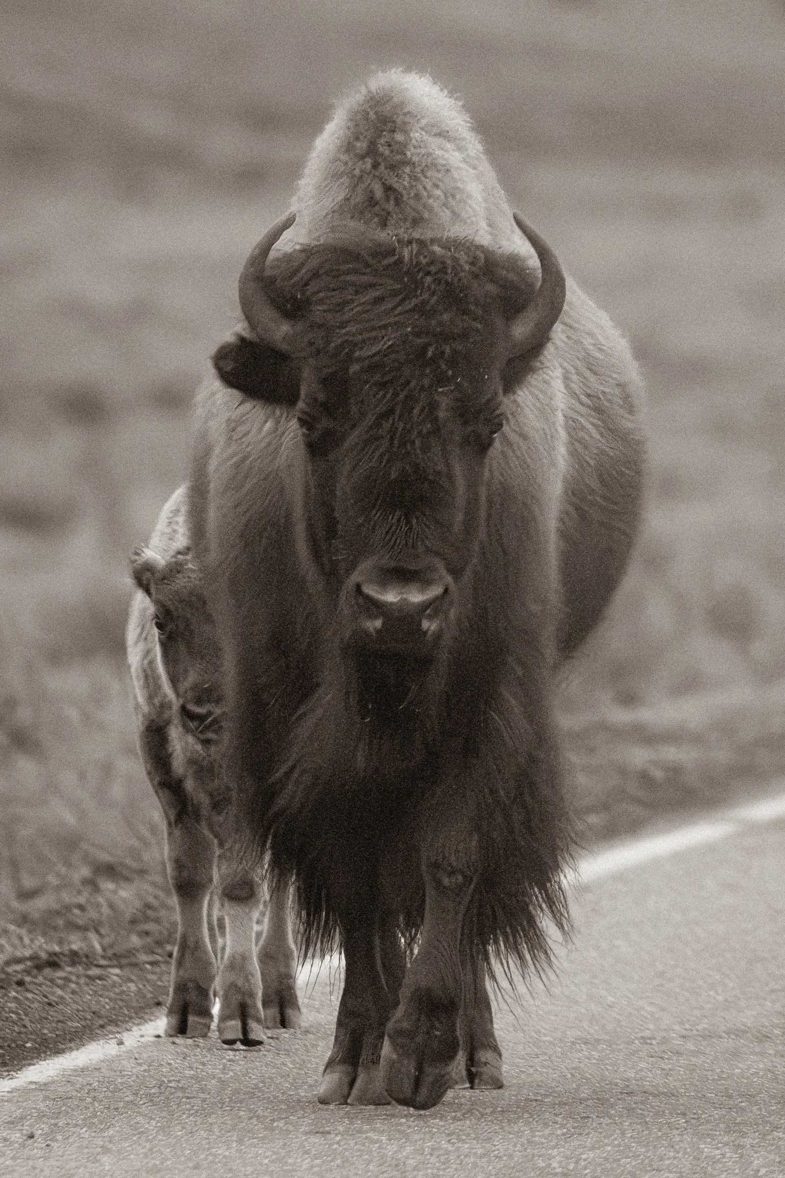
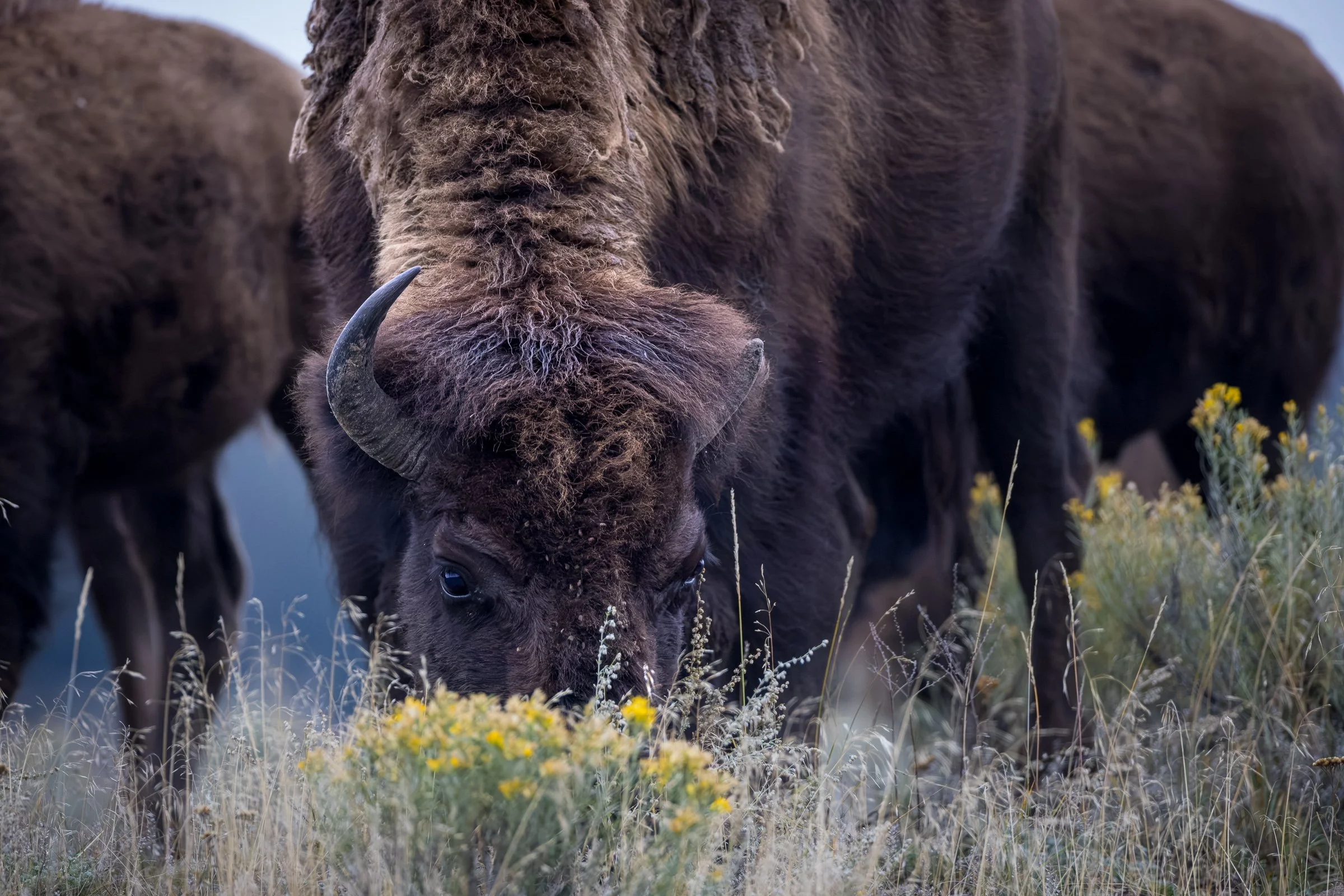
Bison on the edge of a bank right along the road in the sagebrush, it almost looks like they were stopping to smell the flowers.
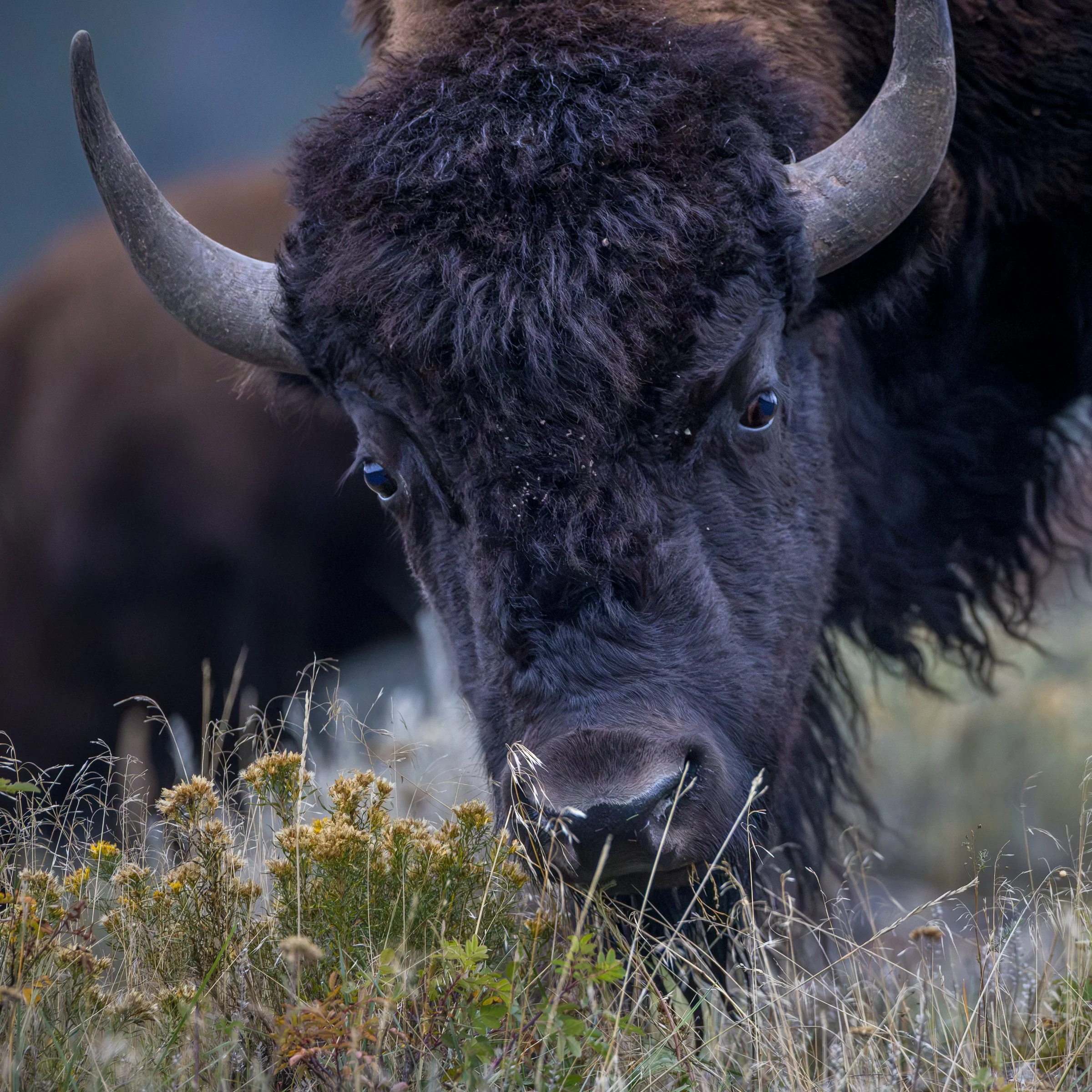
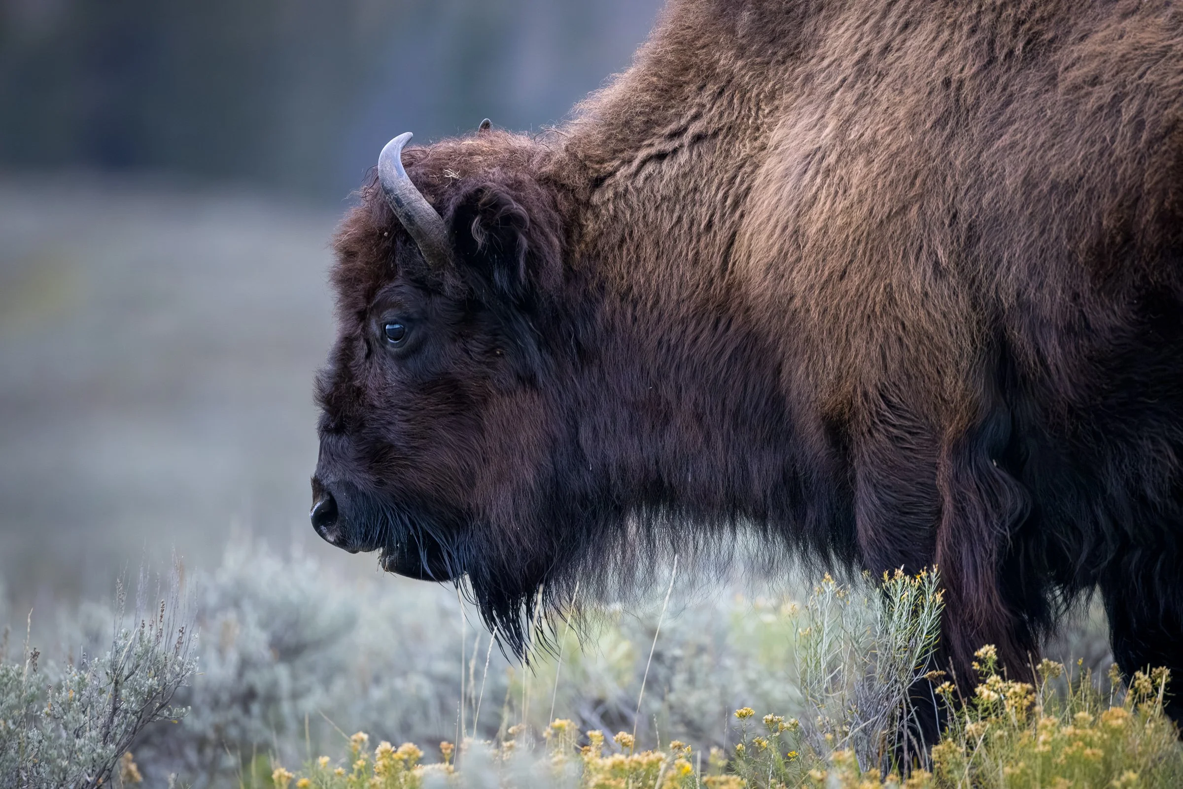
After some time with the Bison in Lamar Valley we doubled back and checked out the Slough Creek area before heading to Tower Falls
Slough Creek on an overcast moody morning
A small group of Bison on a hill near Slough Creek Campground
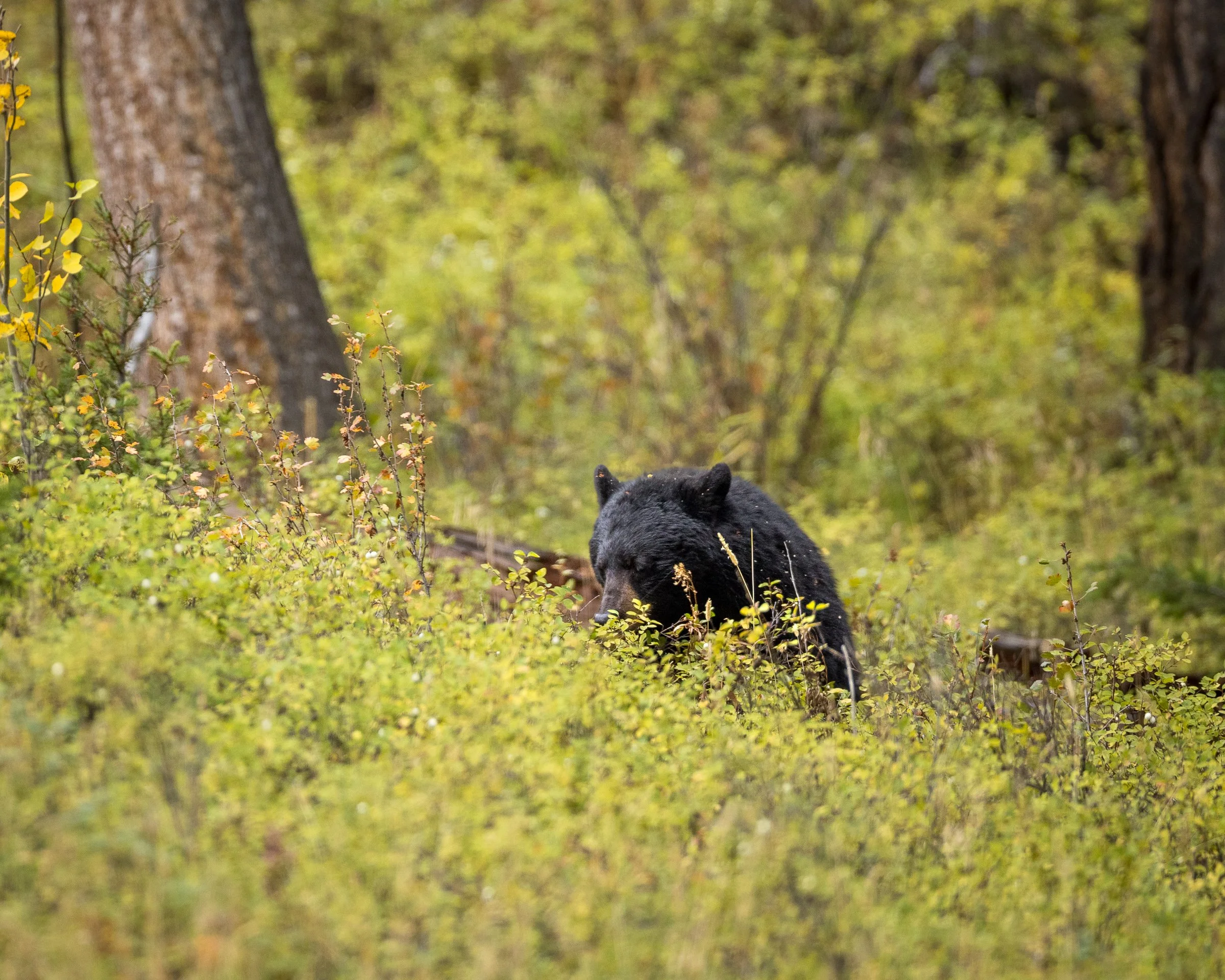
A Black bear spending the morning foraging for snowberries.
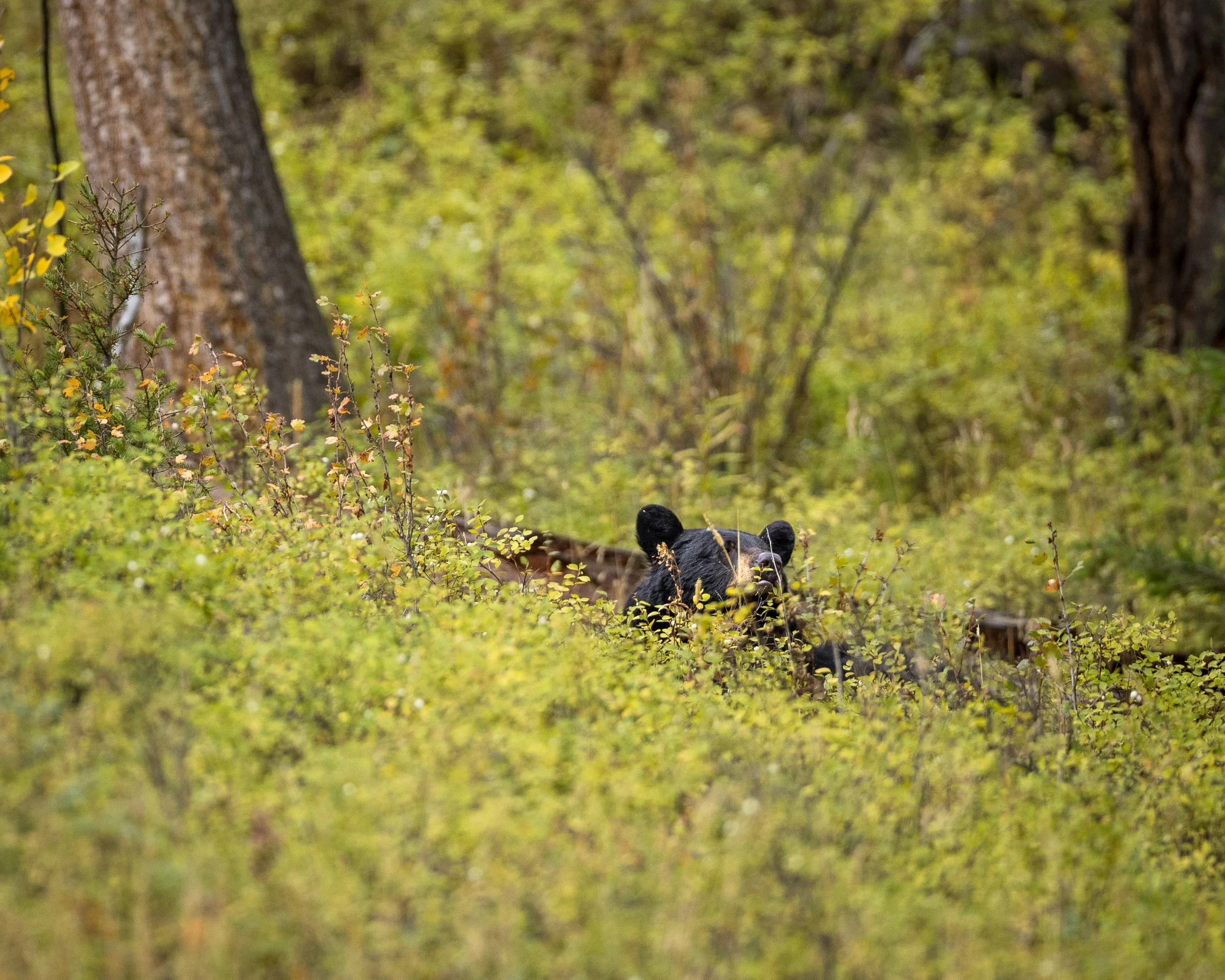
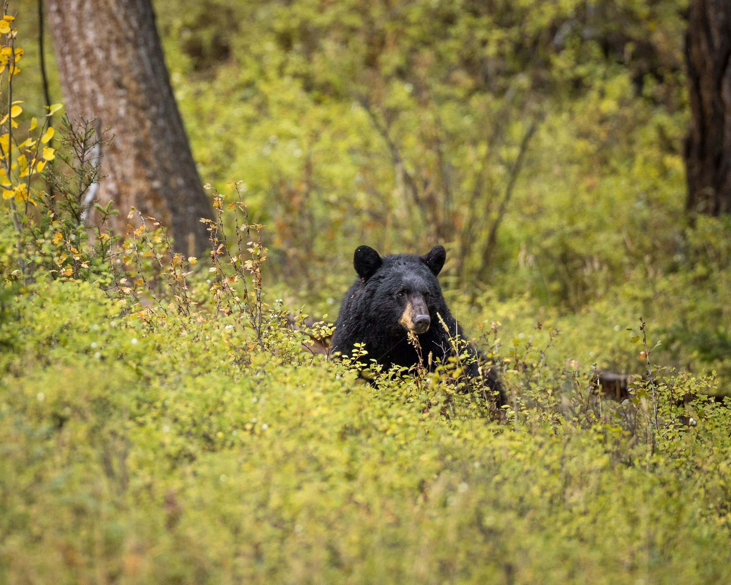
Tower Falls
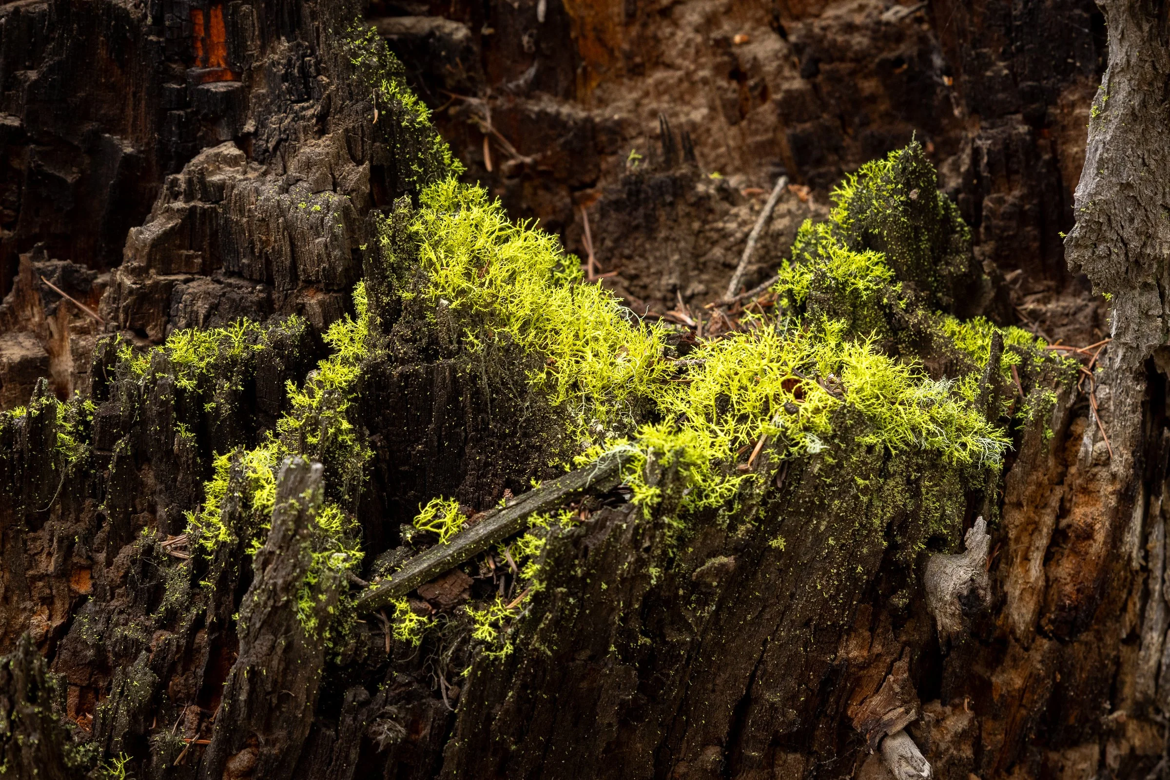
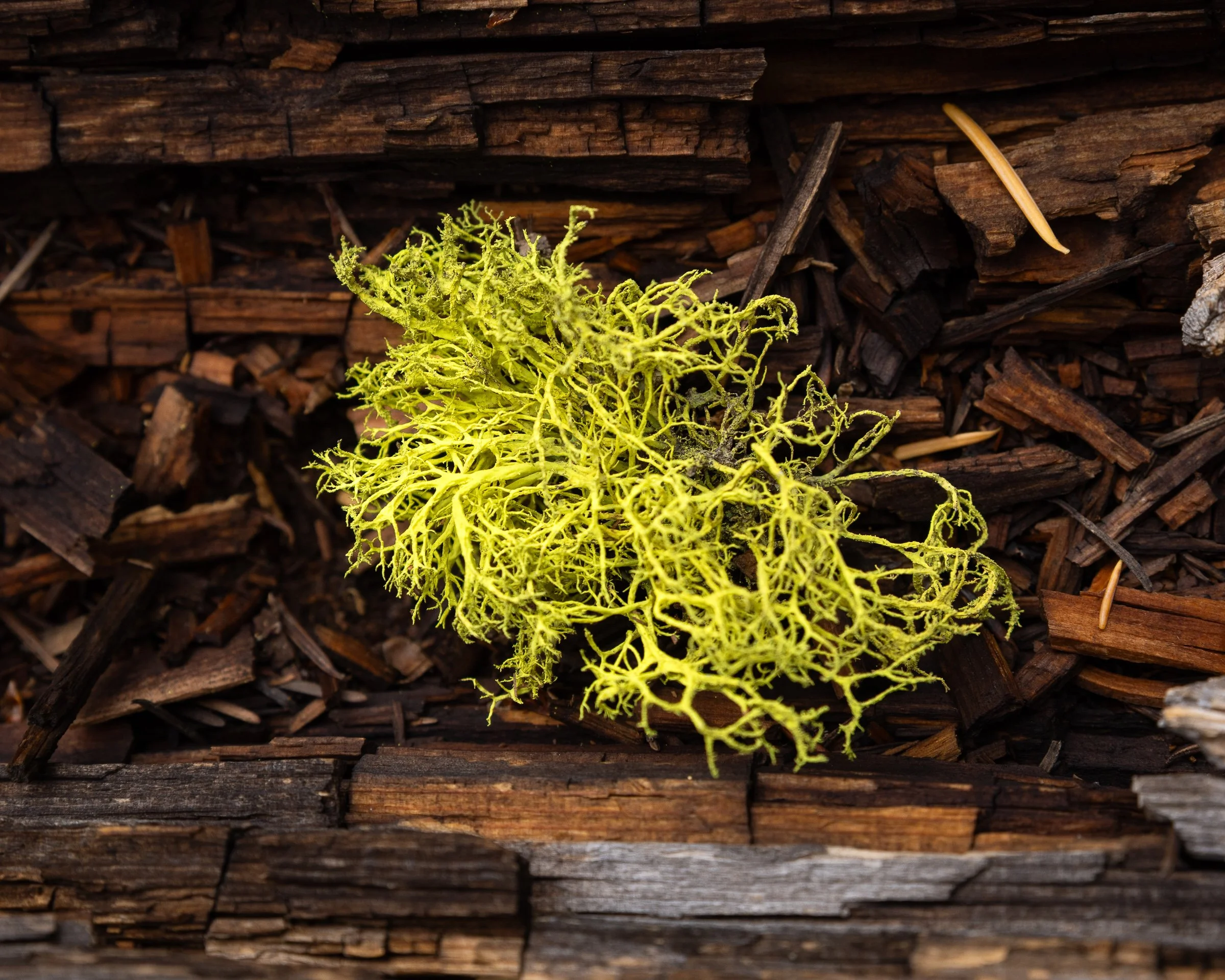
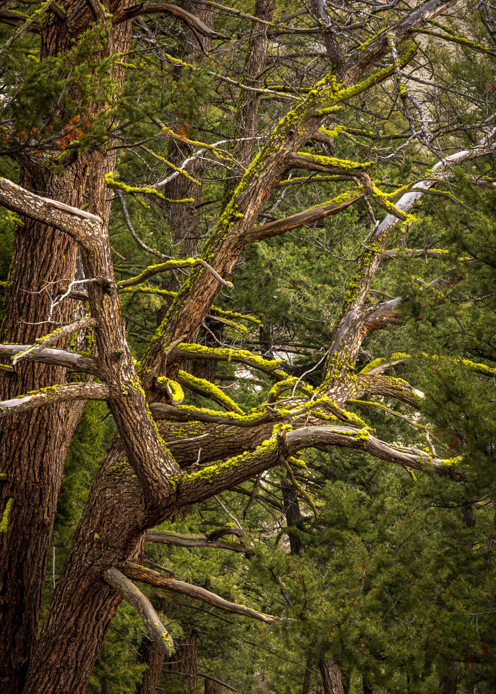
Some interesting lichens along the trail.
The Yellowstone River Valley near Tower Falls
A mountain goat resting across the Yellowstone river canyon.
A mountain goat, shot at 1000mm and heavily cropped. At the time this was the best shot I ever got of a mountain goat, but that would change later during the trip.
Surprisingly the only Big Horn sheep we saw on this trip laying on the bank directly across the road from where I took the Mountain Goat photos.
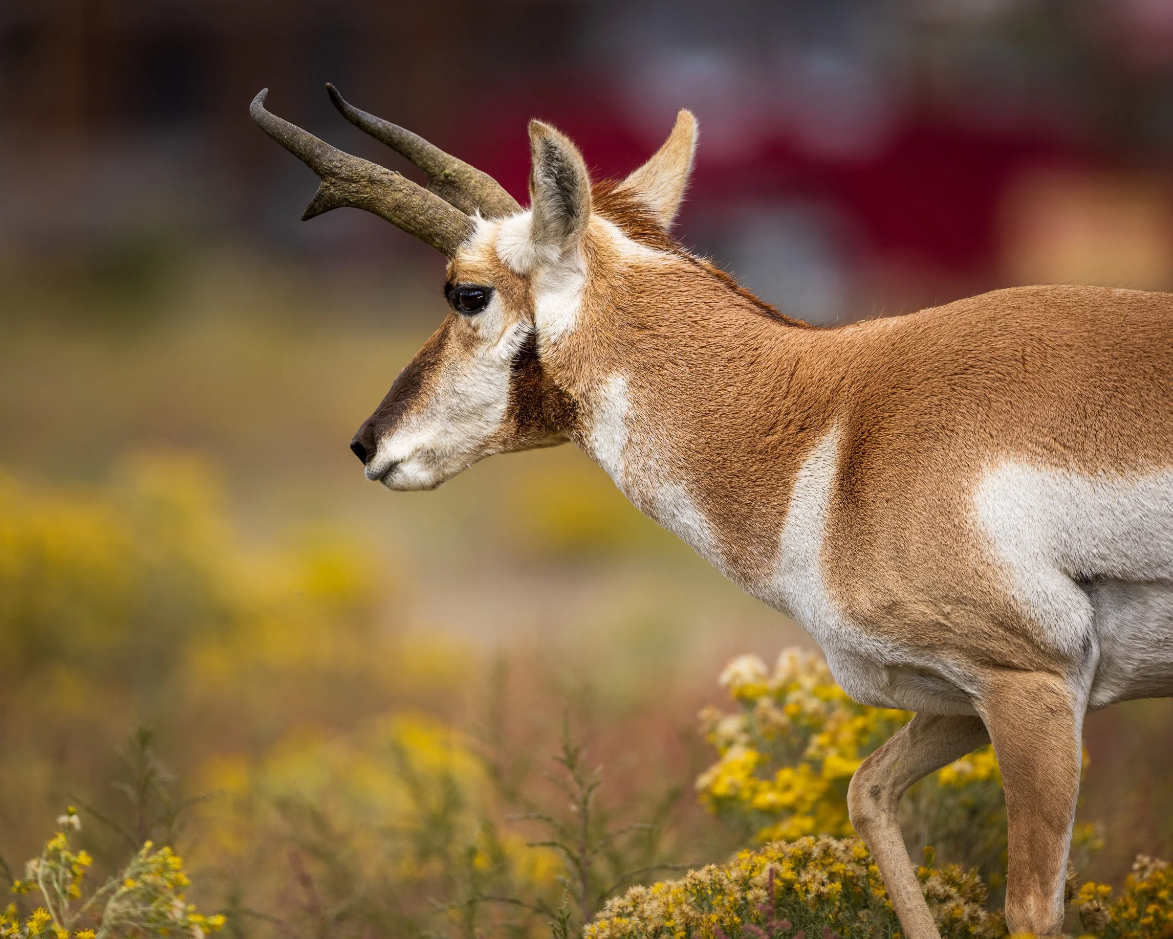
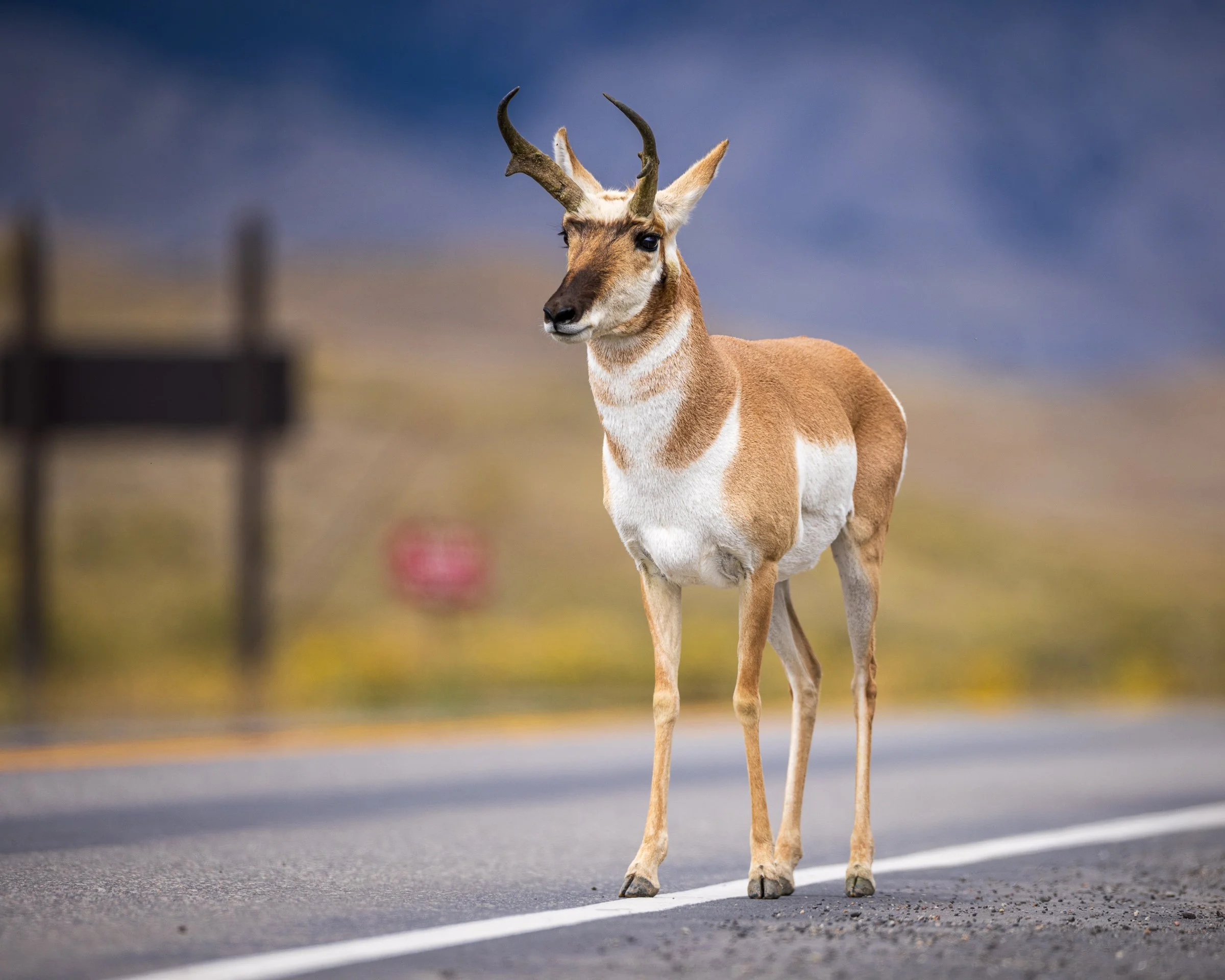
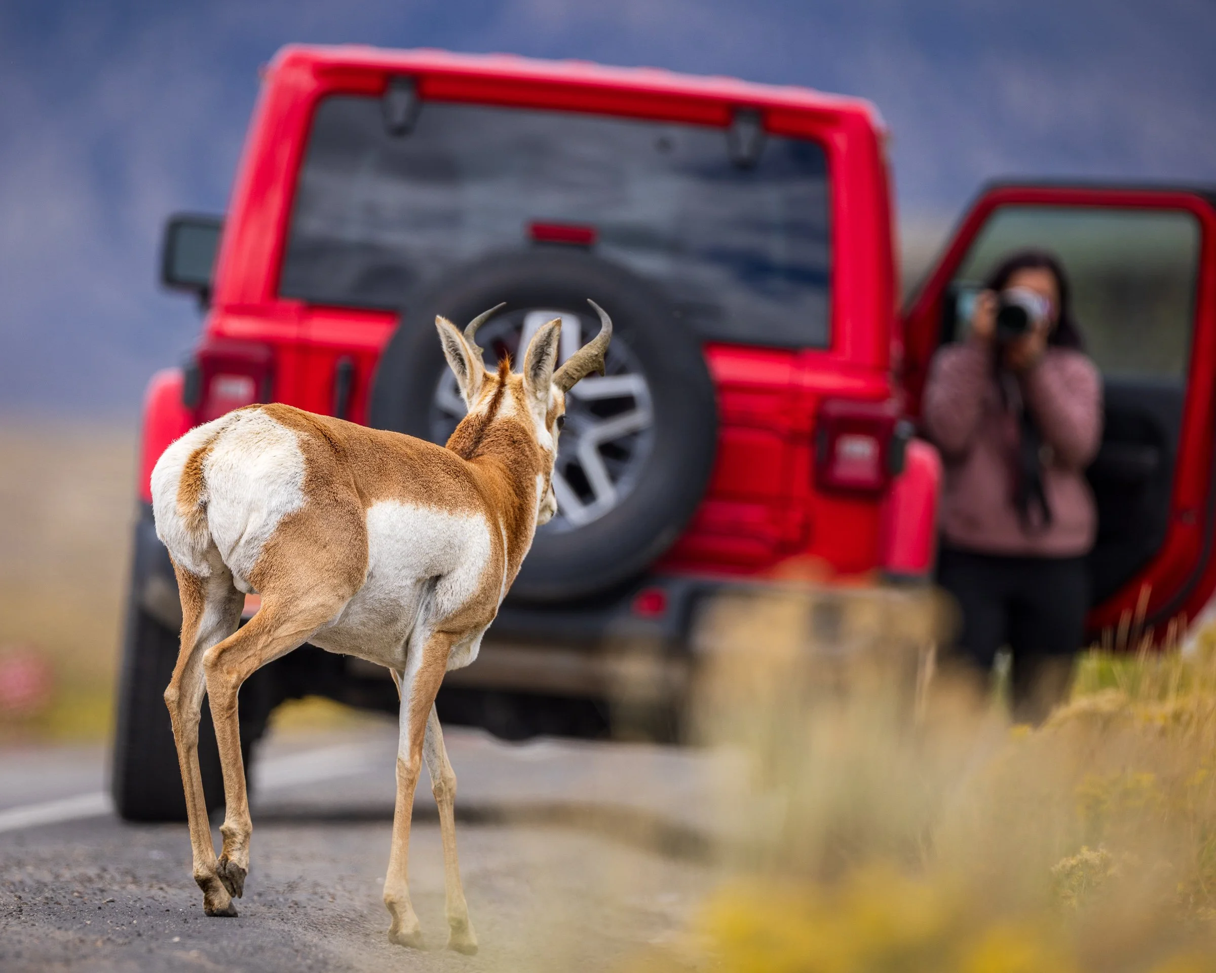
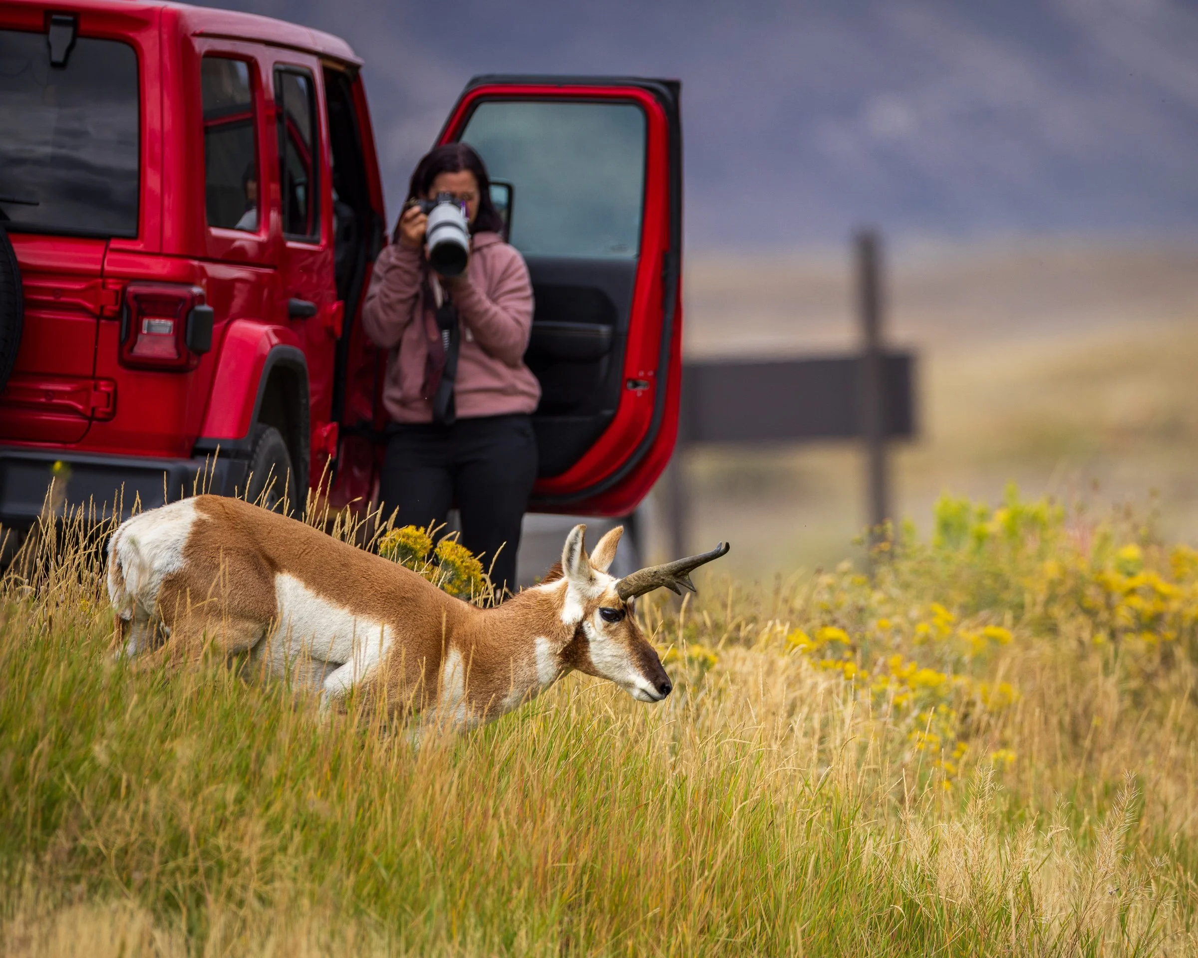
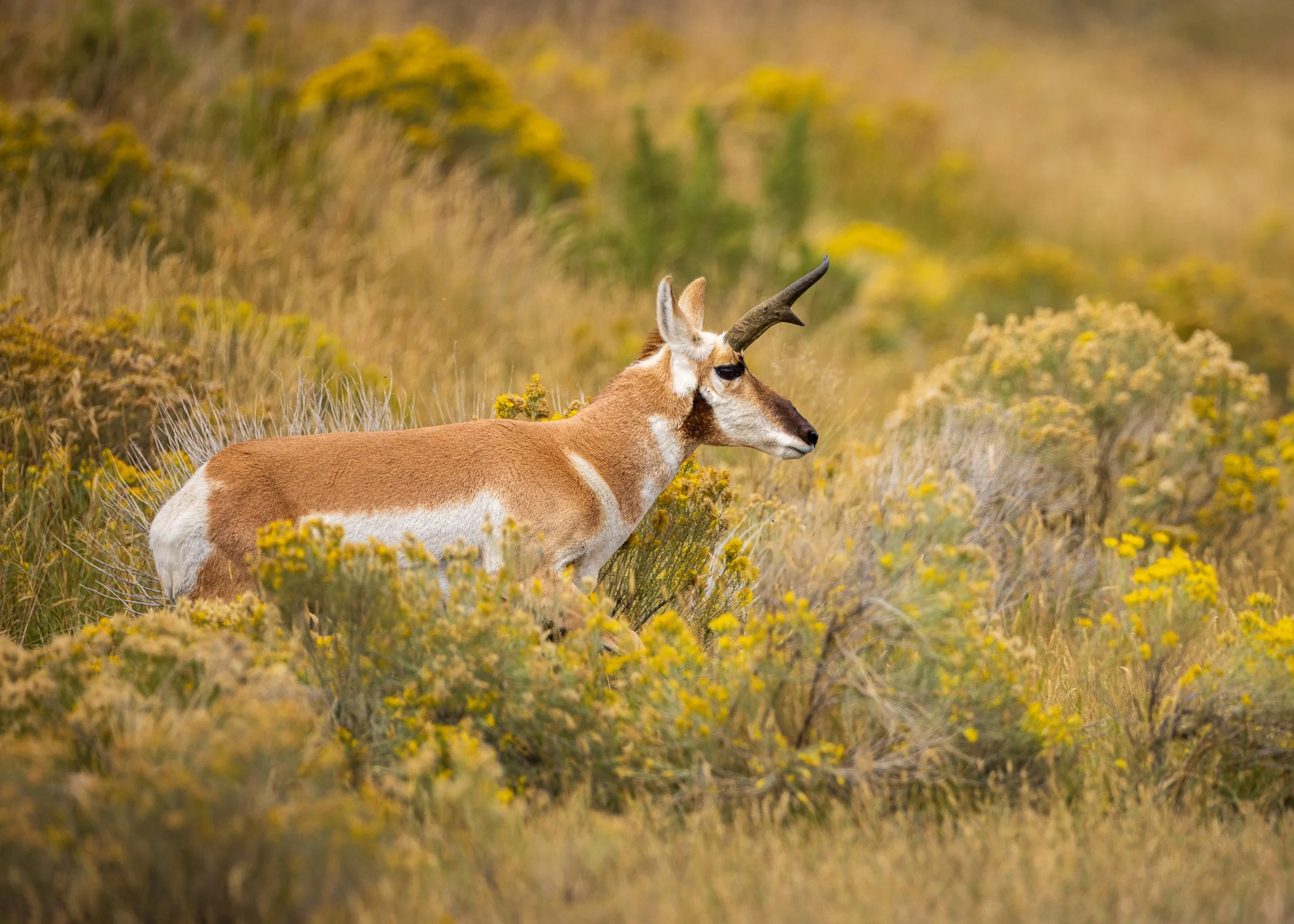
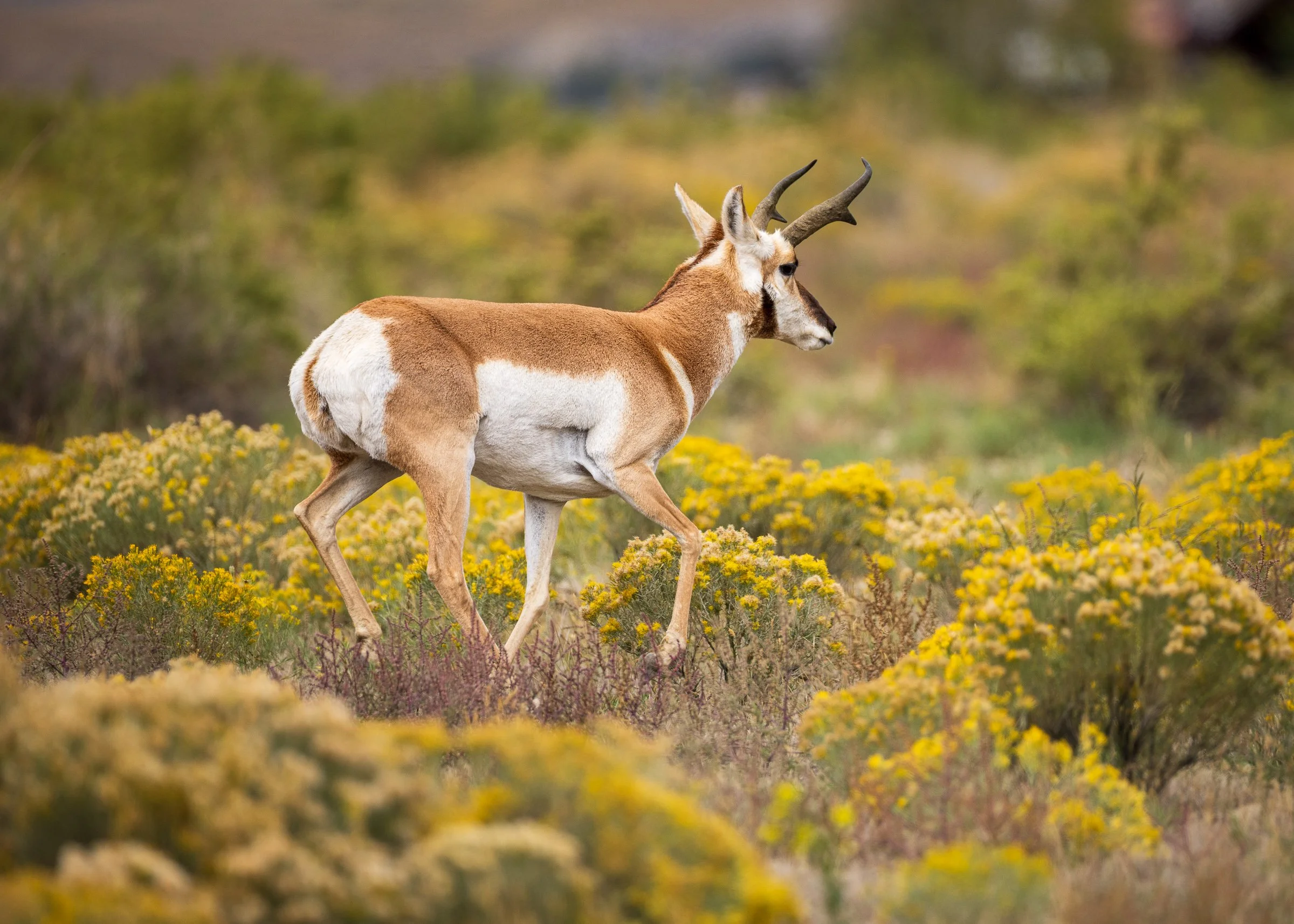
Time to head back to Bozeman but we had to go through Gardiner and ran into a small heard of Pronghorn right after leaving the Park. After I jumped out and walked down the road a bit to get a better angle on my shots one thought it was going to cross the road but then had second thoughts and checked out Christina as she stood next to the Jeep taking a few photos
Day 2 - Red Lodge to Cody via the
Beartooth Highway and the Chief Joseph Scenic Byway
On our Second Morning we woke up in Red Lodge MT with the plan to tackle the Beartooth Highway and then onto the Chief Joseph Scenic Byway on our way to Cody WY But we wanted to do that drive in the daylight so we went out at first light to find a sunrise spot recommended by the guy at the desk when we checked in the night before. I think I took a wrong turn and although we didn't find the "spot" we did make the most of it.
The sun just starting to light up the mountains, somewhere near Red Lodge MT
Christina modeling as the sun quickly lights up the background
The Historic one-room Hogan School built in 1895 and used until 1967
Onto the Beartooth Highway. The Beartooth Highway is considered “one of the most scenic high-altitude drives in North America” It runs about 68 miles from Red Lodge, MT to Cooke City, just outside the Northeast entrance to Yellowstone National Park. Our route took us about 50 miles from Red Lodge to the Chief Joseph Scenic Byway turn-off.
Starting in Red Lodge at 5,500 feet, you climb about 1000 feet in the first 12 miles. Then the real excitement begins: as you hit the switchbacks, you gain another 4,500 feet of elevation over the next 18 miles. The views and hairpin turns are breathtaking and you'll know you're nearing the 10,947-foot summit when the trees disappear and emerge onto the open Alpine Tundra.
A pano I shot at the at the Rock Creek Vista Overlook
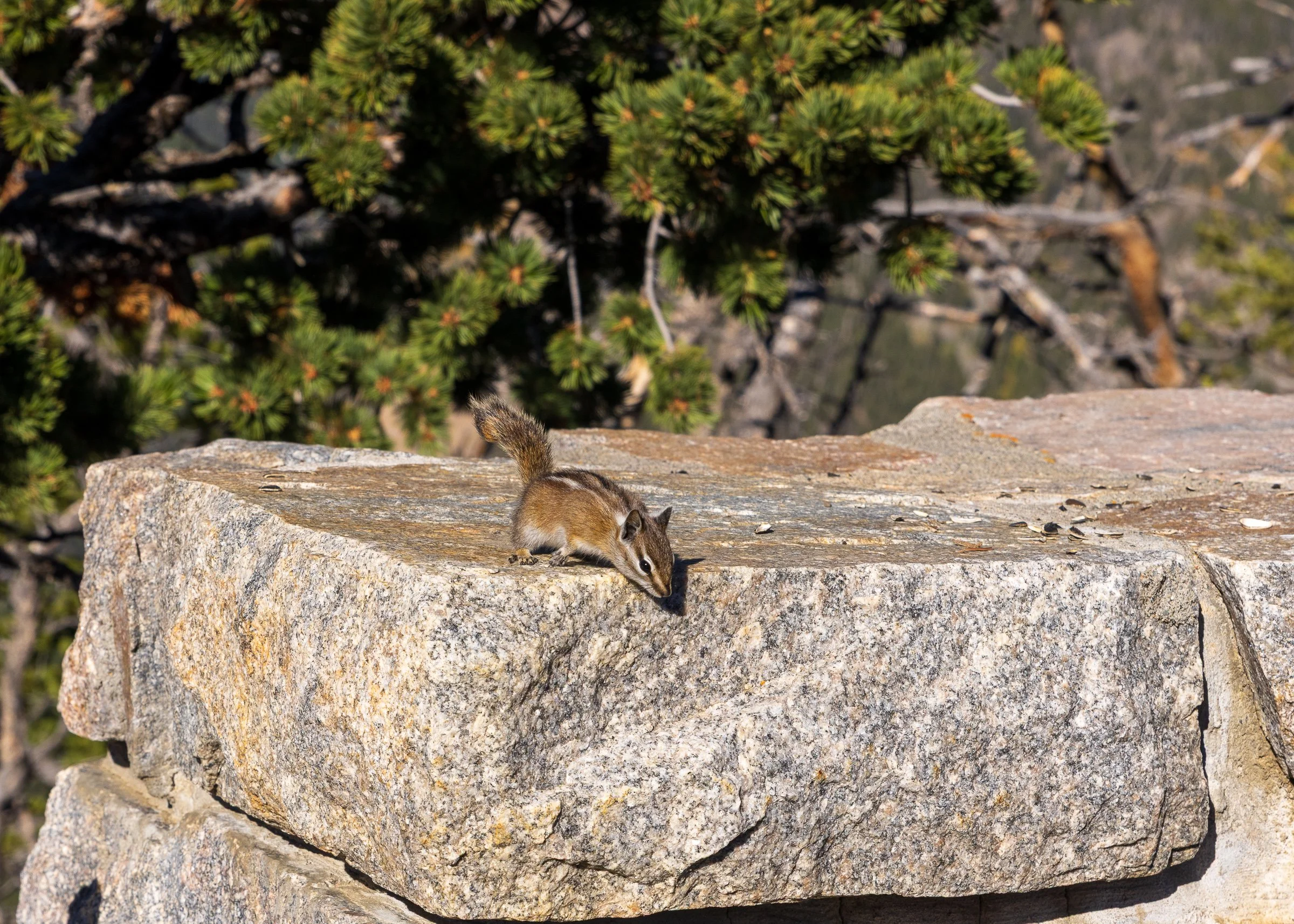
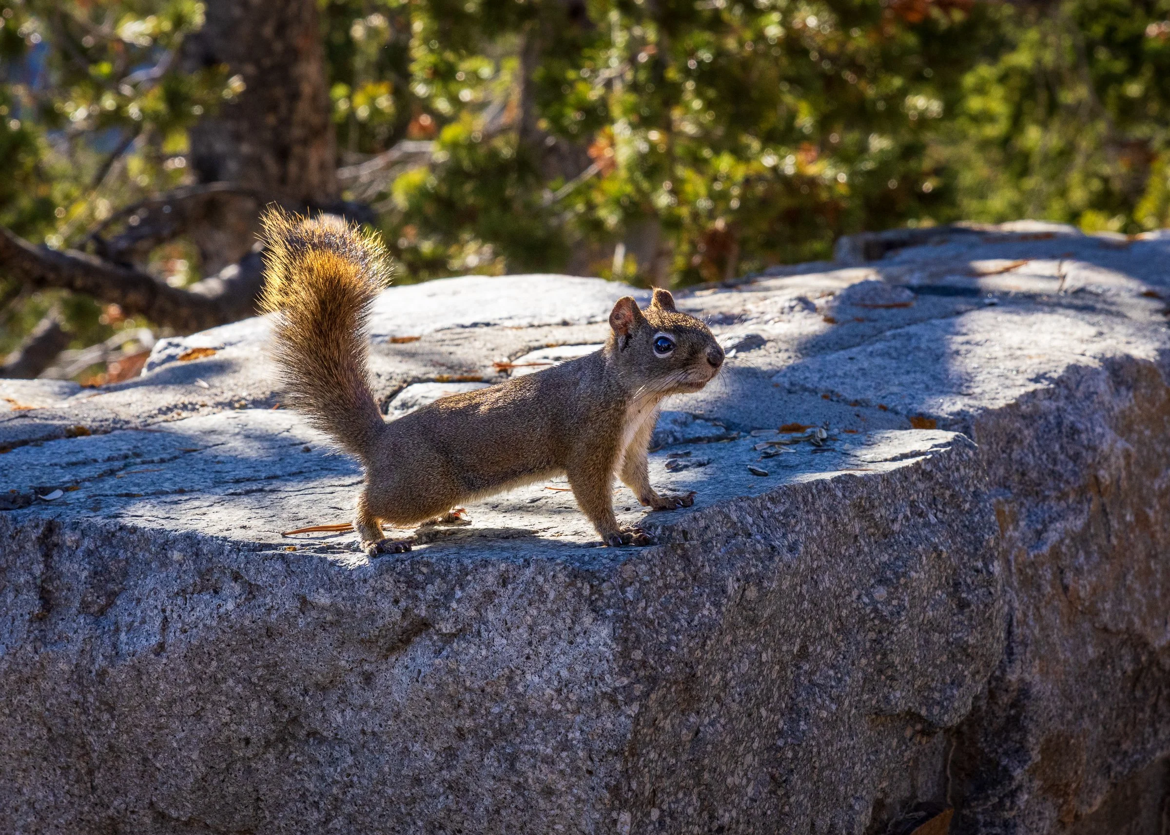
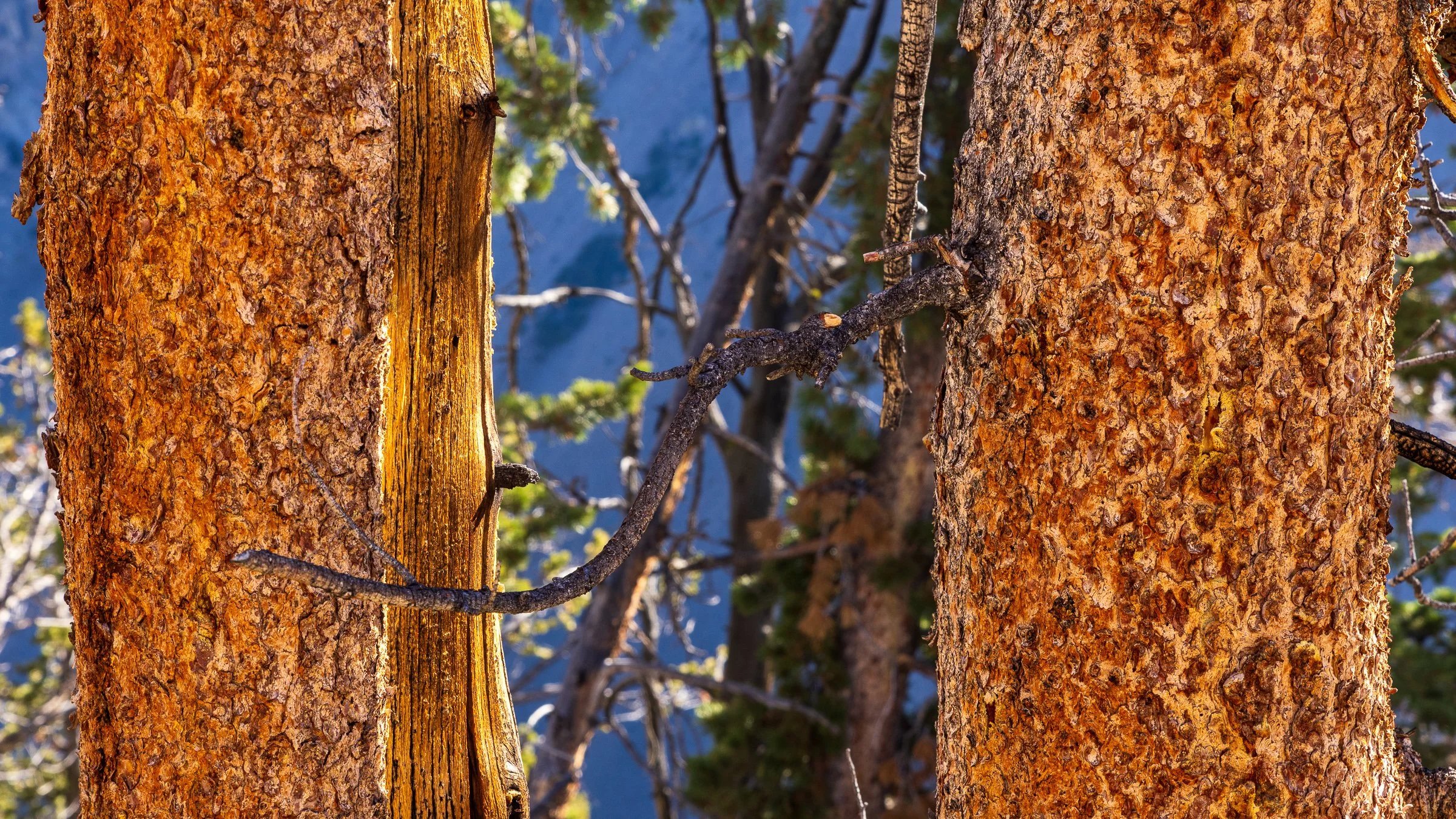
A friendly Chipmunk, likely looking for a snack and the bark of a Ponderosa Pine
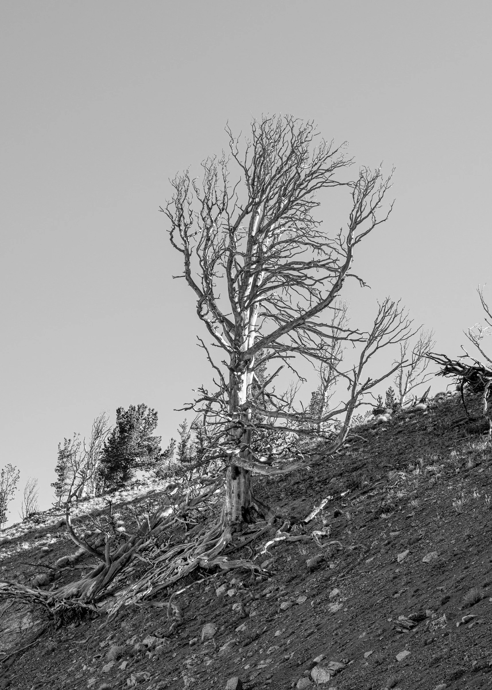
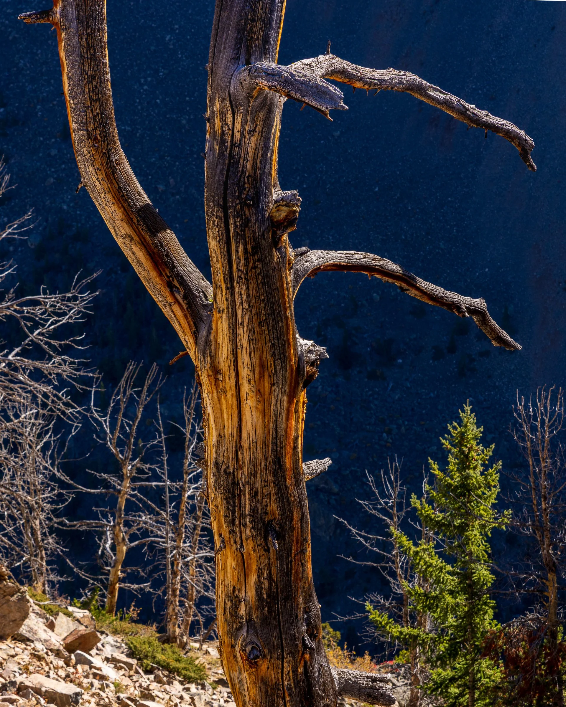
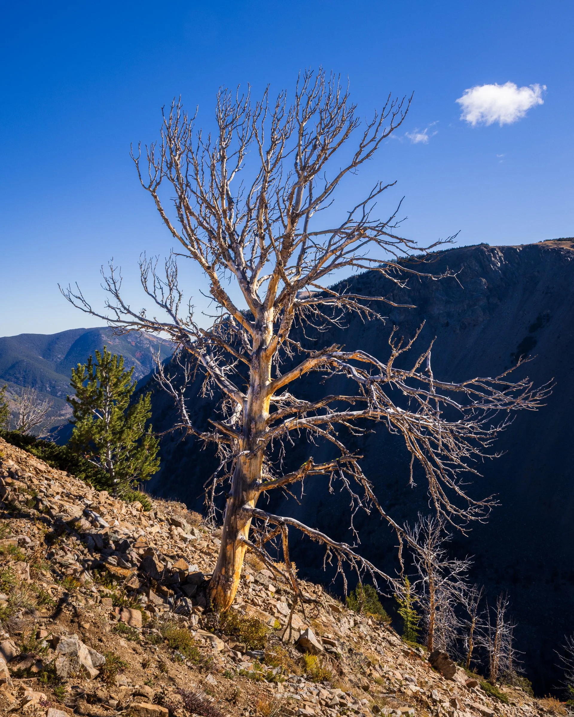
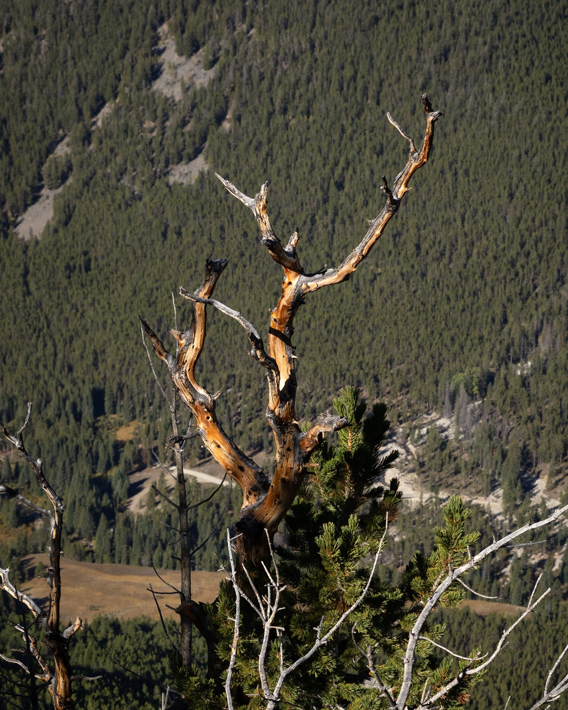
What is it about dead trees? I’m always drawn to them.
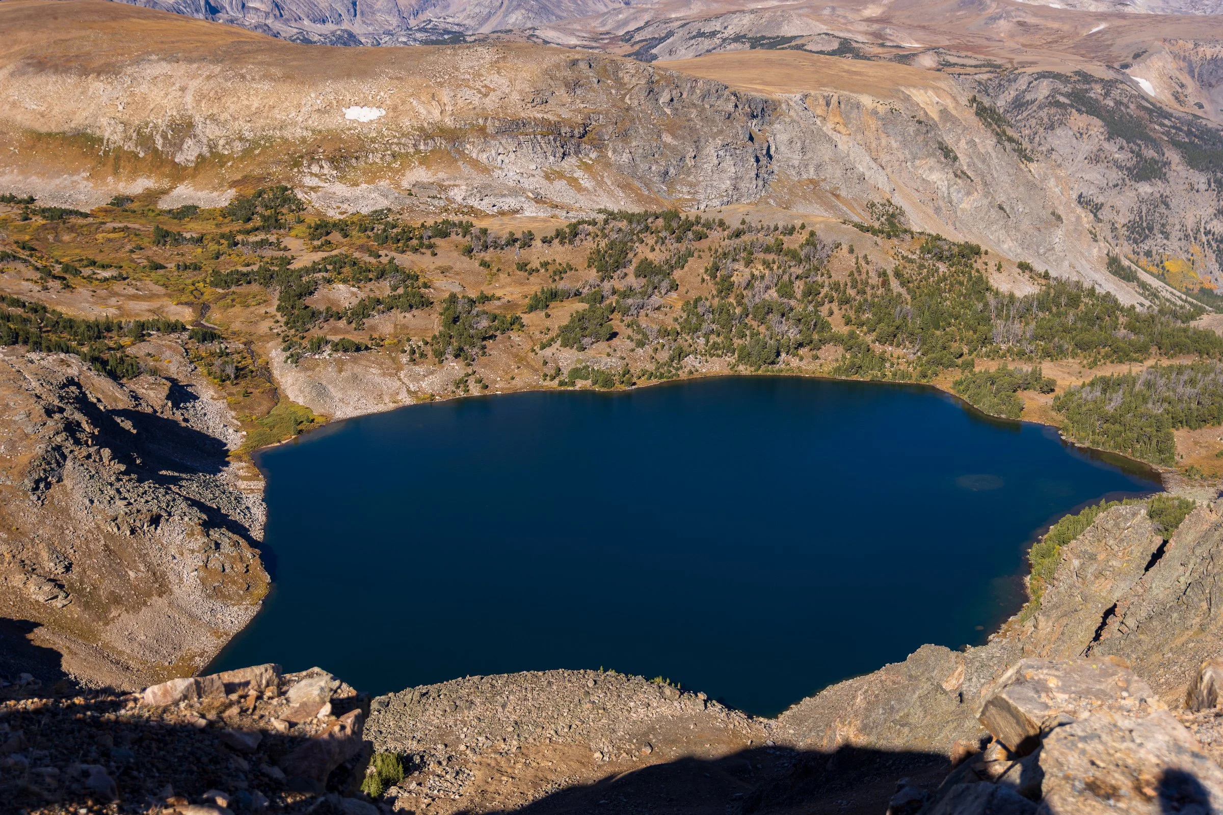
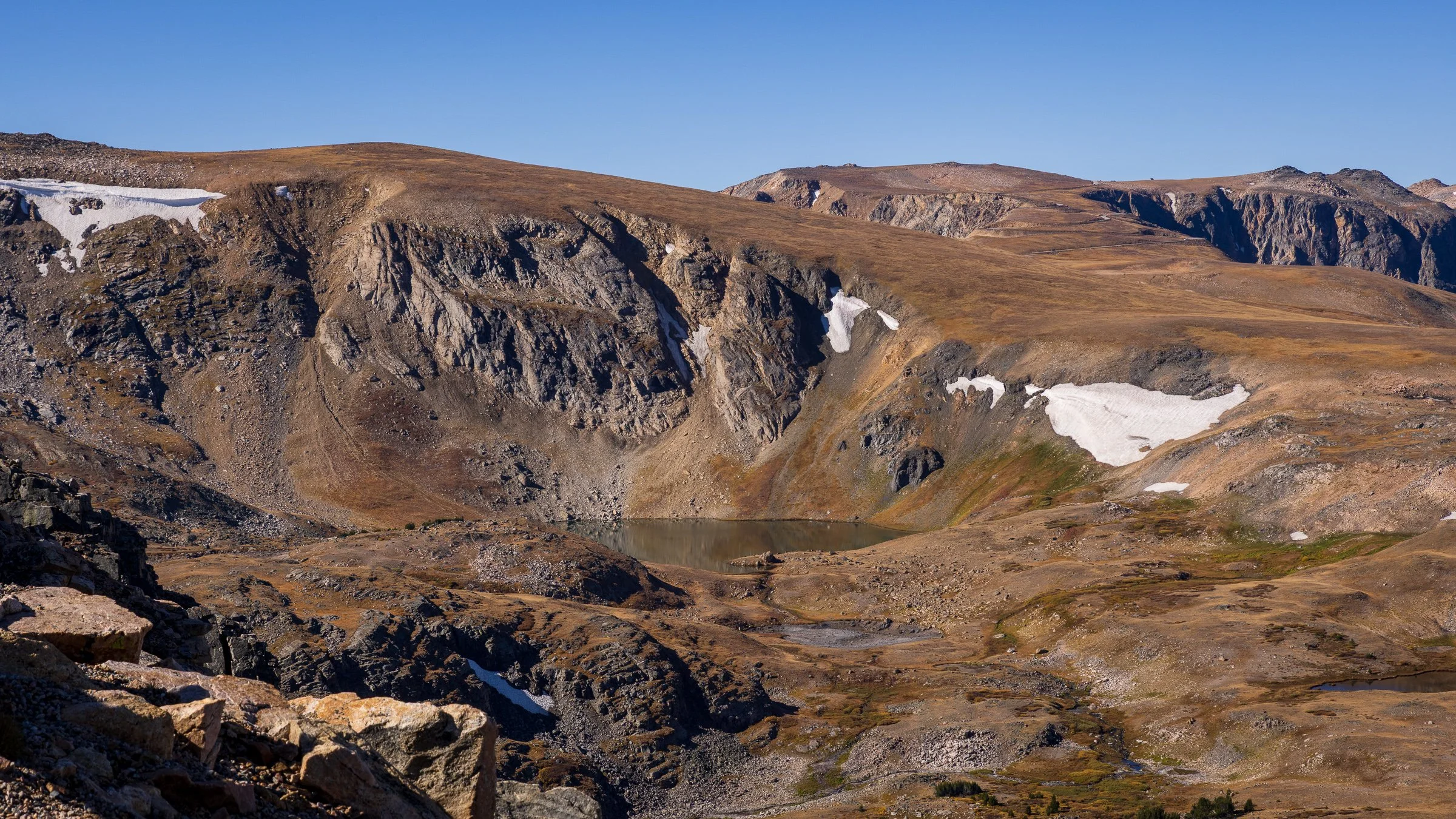
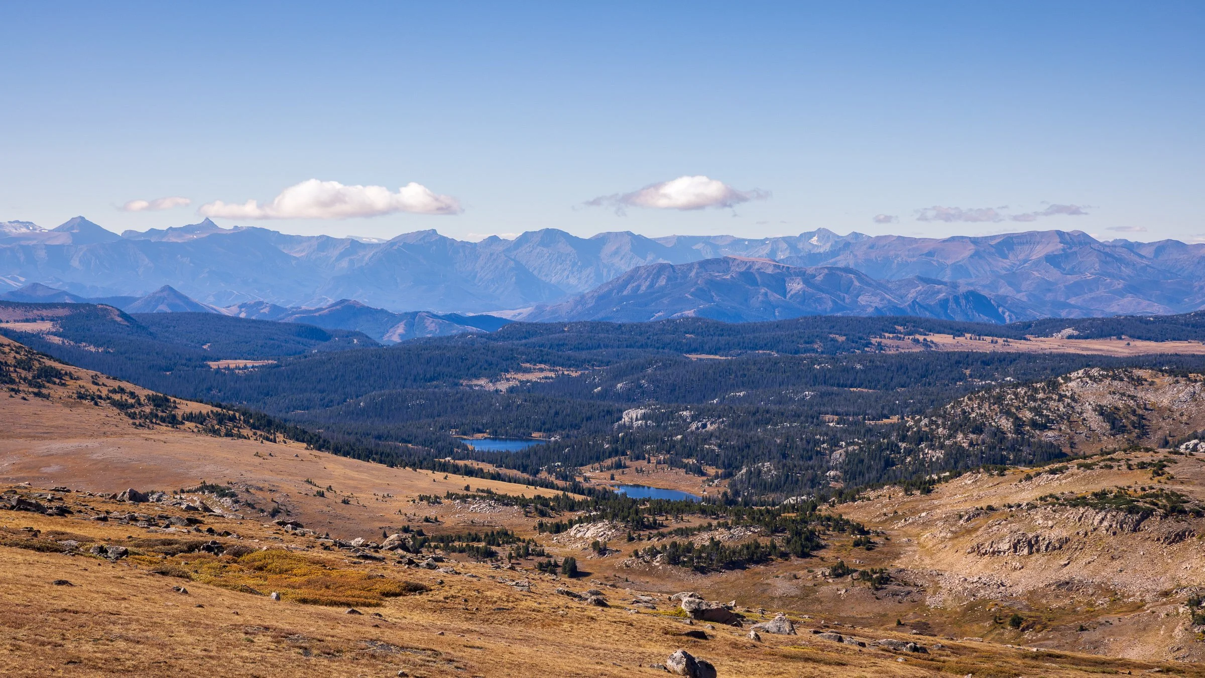
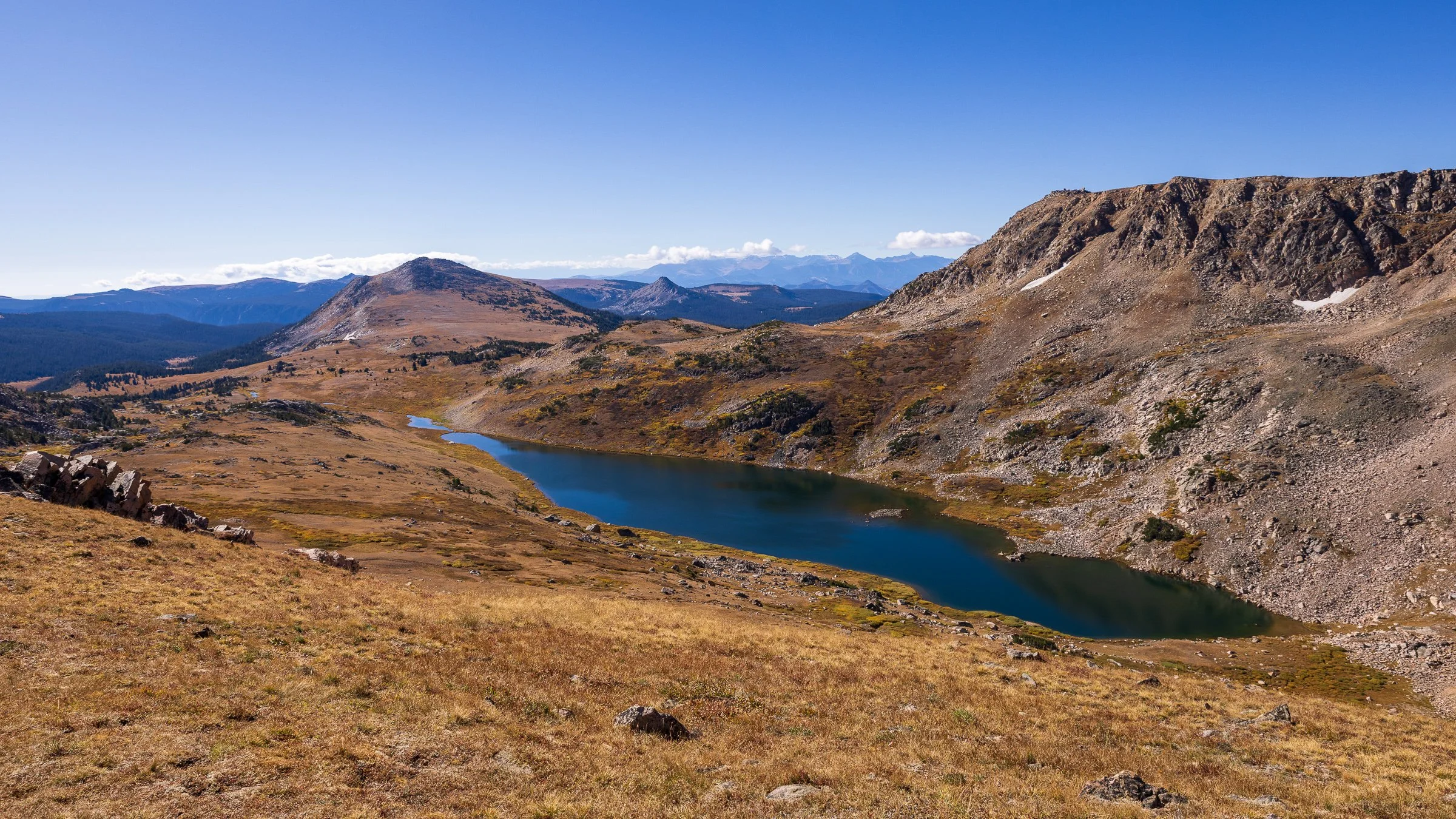
Alpine views and lakes
I try not to set expectations too high whenever I go on a trip, but I do generally have a list of targets I’d like to photograph. On this trip, I was hoping to add two new animals to my portfolio: mountain goats and pika. I did some research, and that was a big reason why I added the Beartooth Highway to our itinerary—both species are known to frequent the high alpine tundra. Christina knew I was hoping to spot them and was helping me scan the landscape, so you can imagine my excitement when she pointed out goats just as we were pulling up to the summit. I quickly parked, grabbed my camera and big lens, and was absolutely thrilled to find a nanny and kid grazing just a few hundred feet from the parking area.
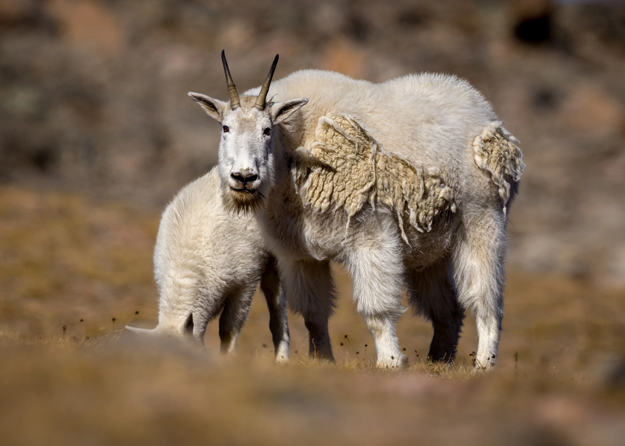
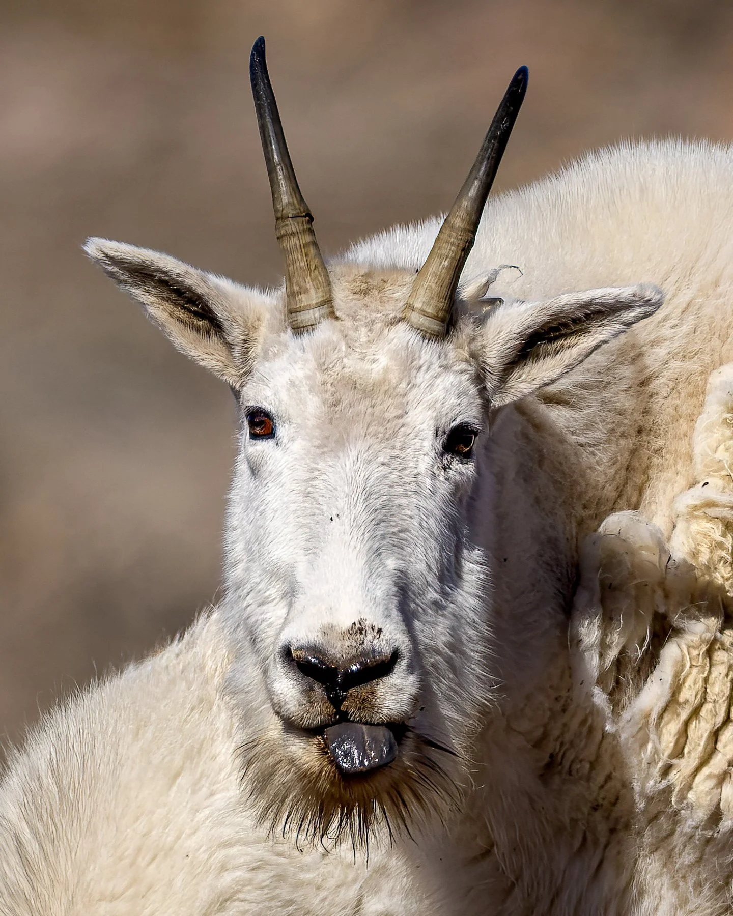
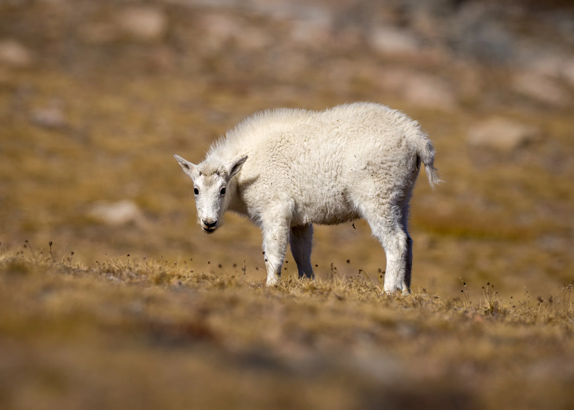
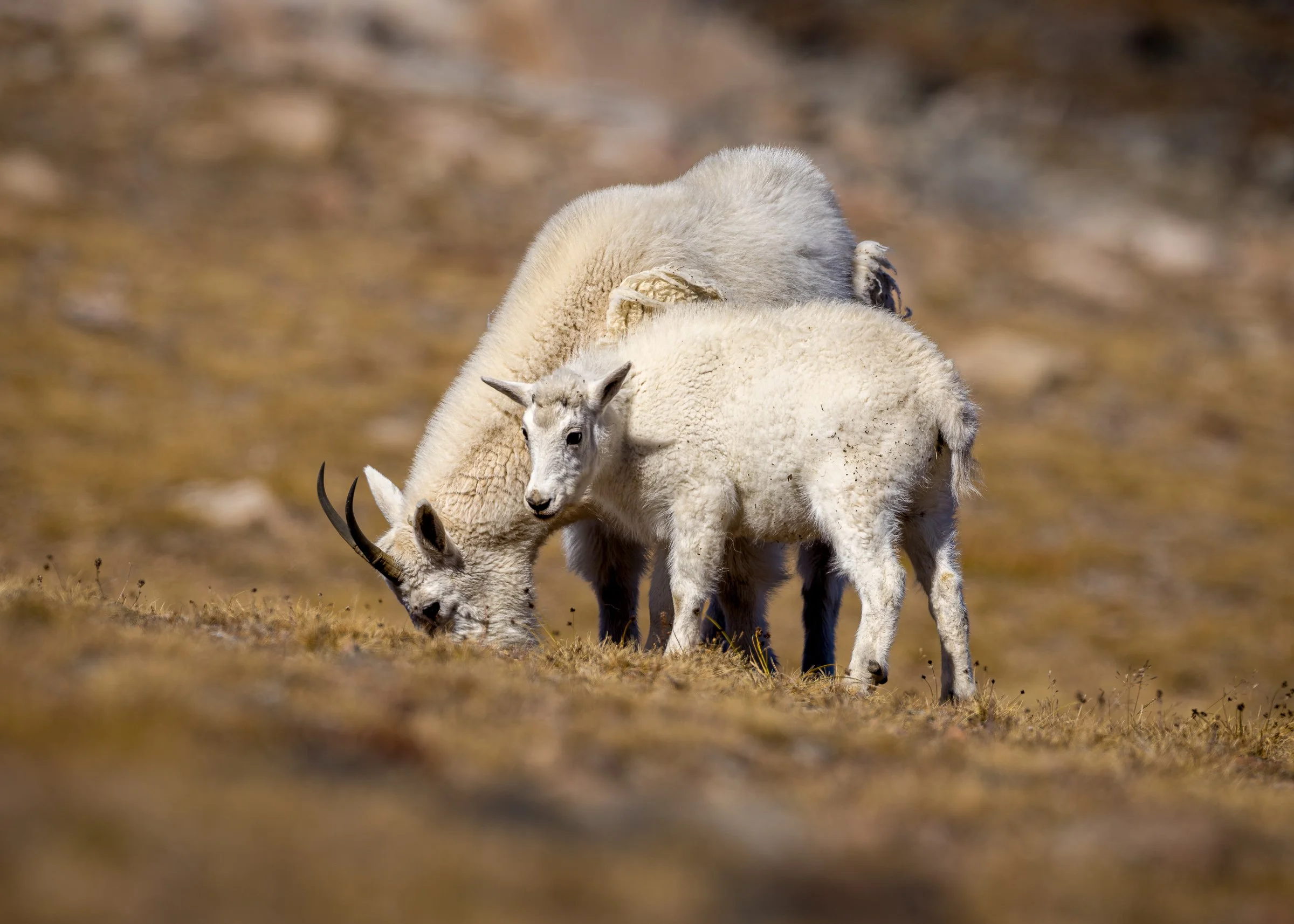
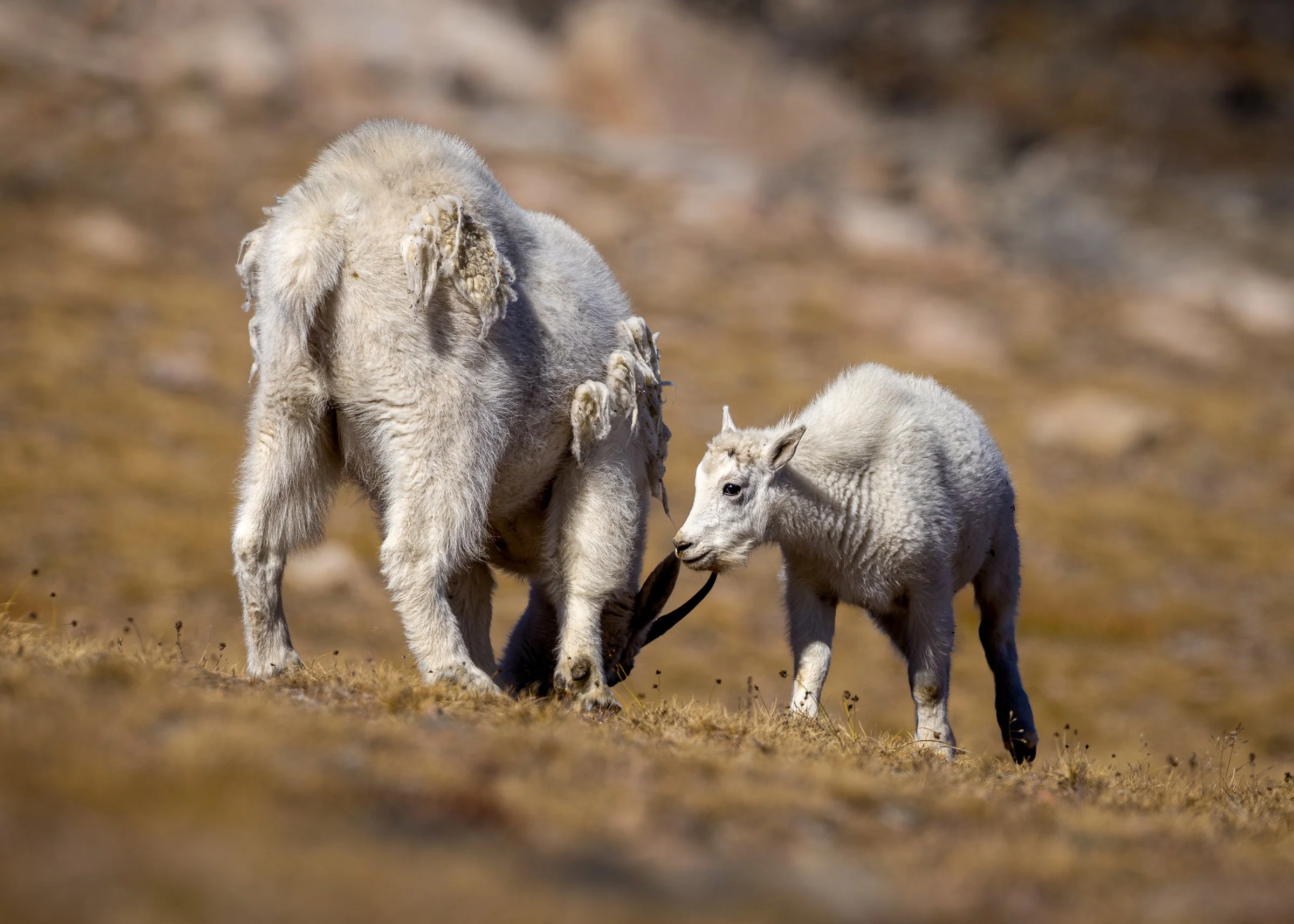
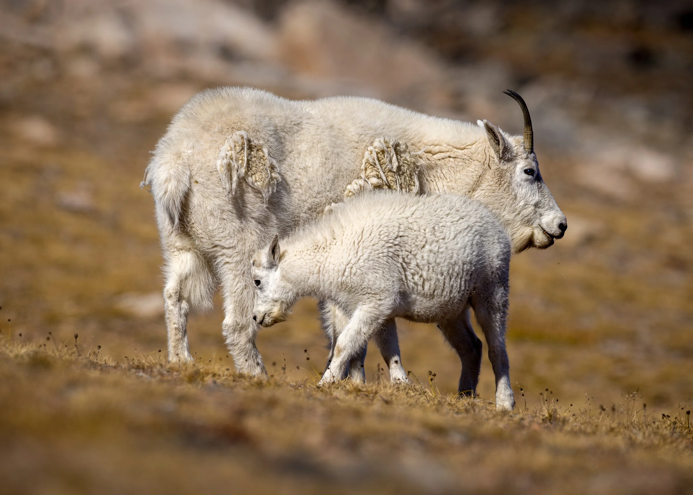
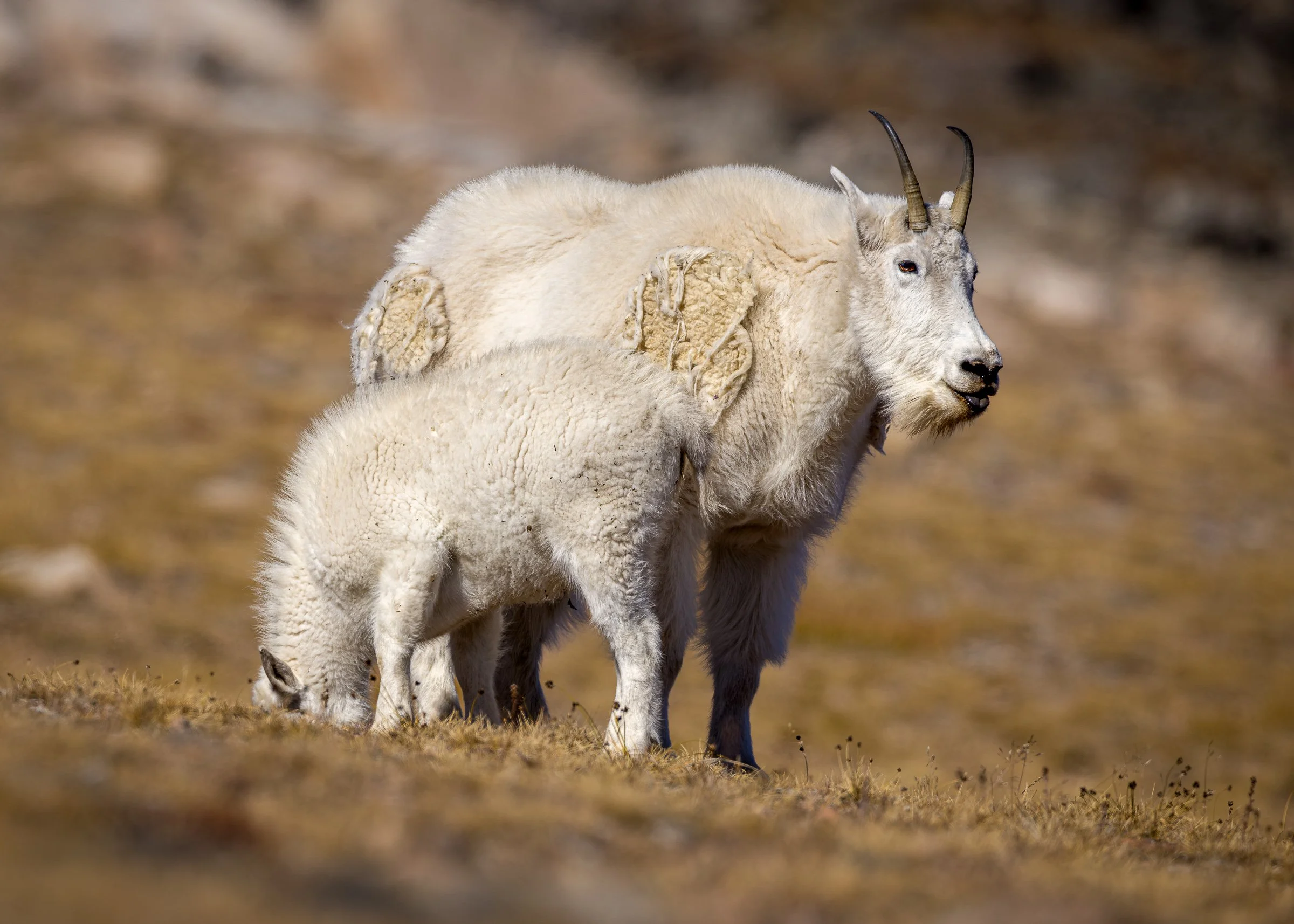
After our time with the mountain goats at the summit it’s time to head down the other side. From here you can drive to Cooke City or you can turn on to the Chief Joseph Scenic Byway and go to Cody. Here are a few photos from that part of the drive
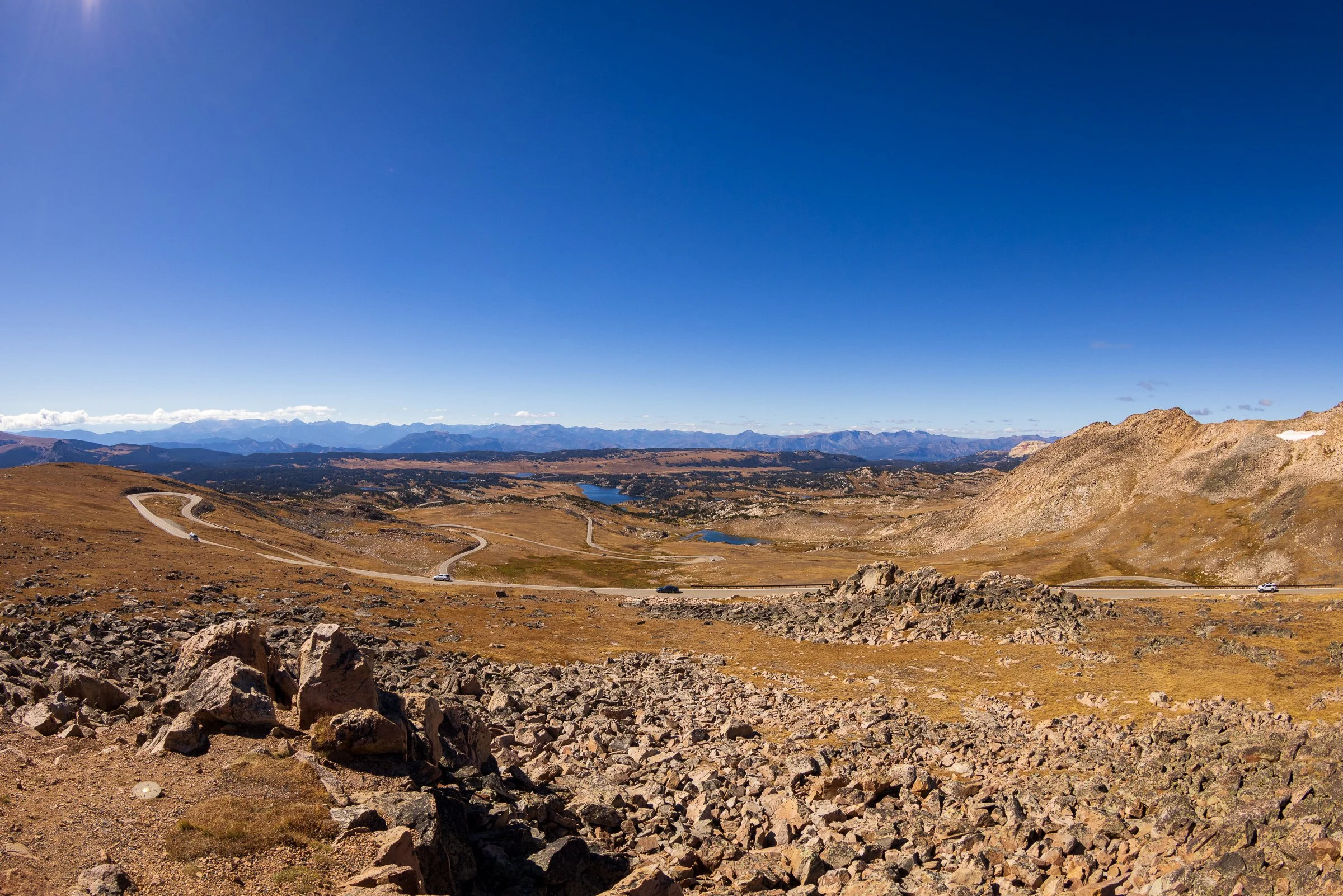
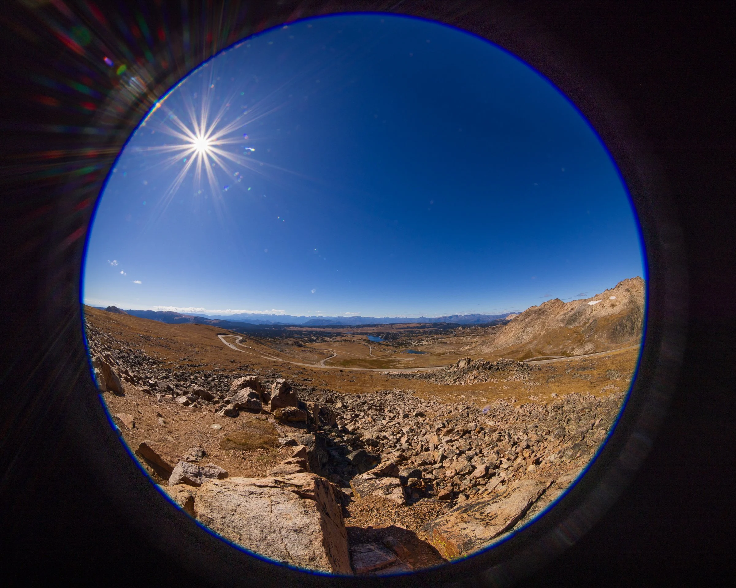
The same view shot at 15mm “normal” view and at 8mm with the circular fish eye.
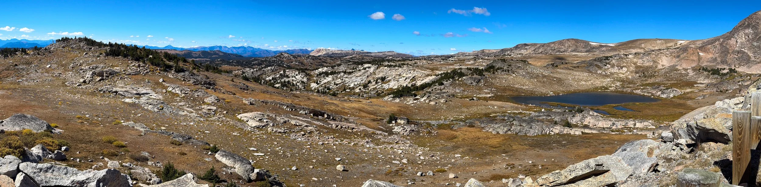
An iPhone Pano for the Wyoming side of the drive
Yellow Bellied Marmot, while very similar to the Eastern Ground Hog is a different species.
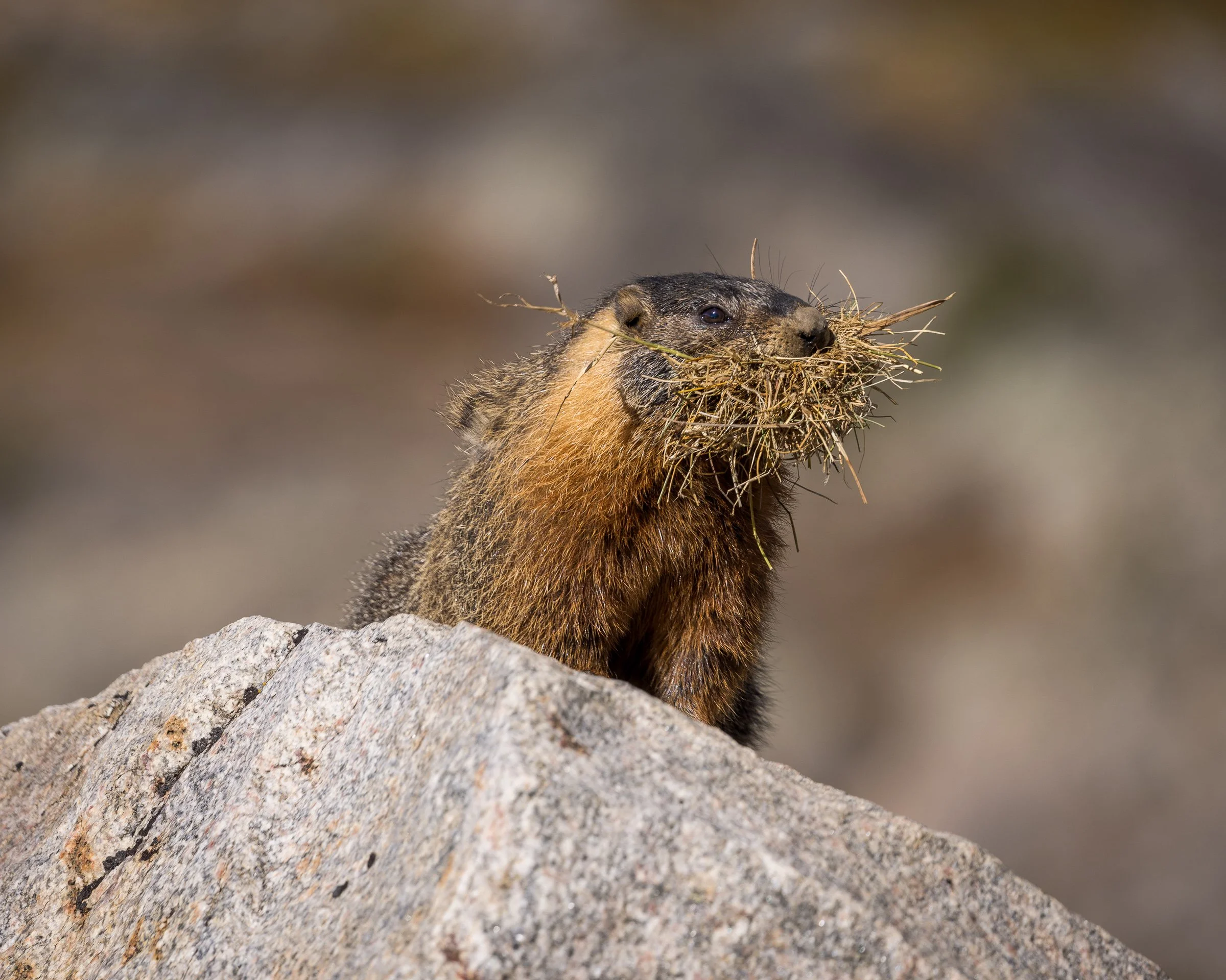
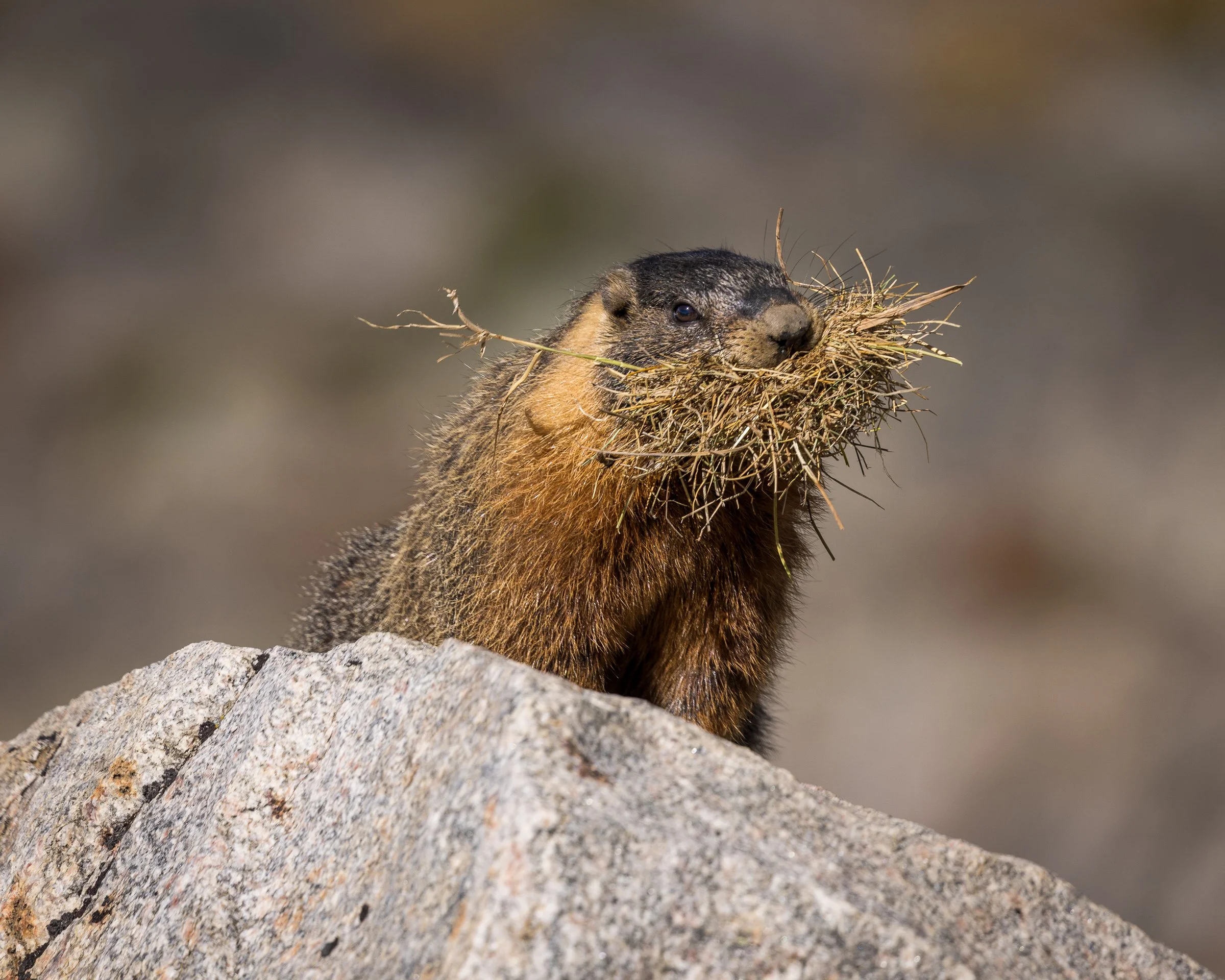
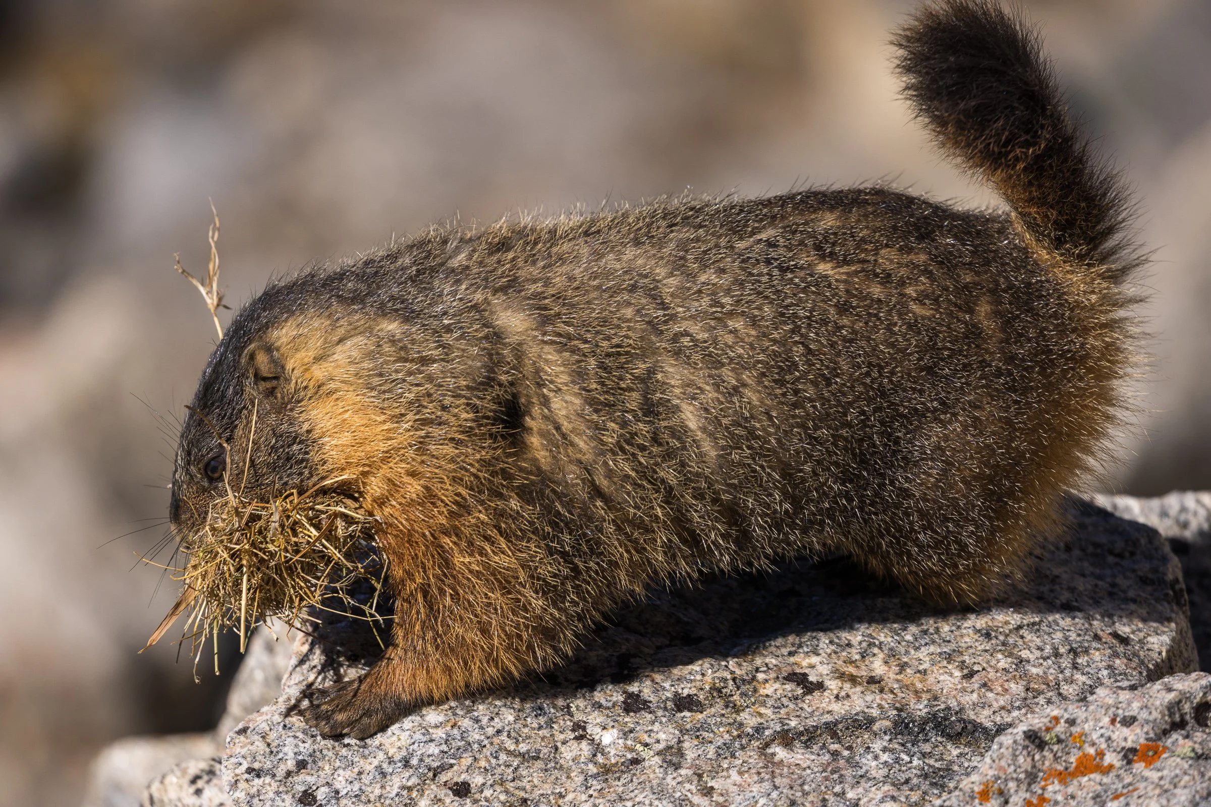
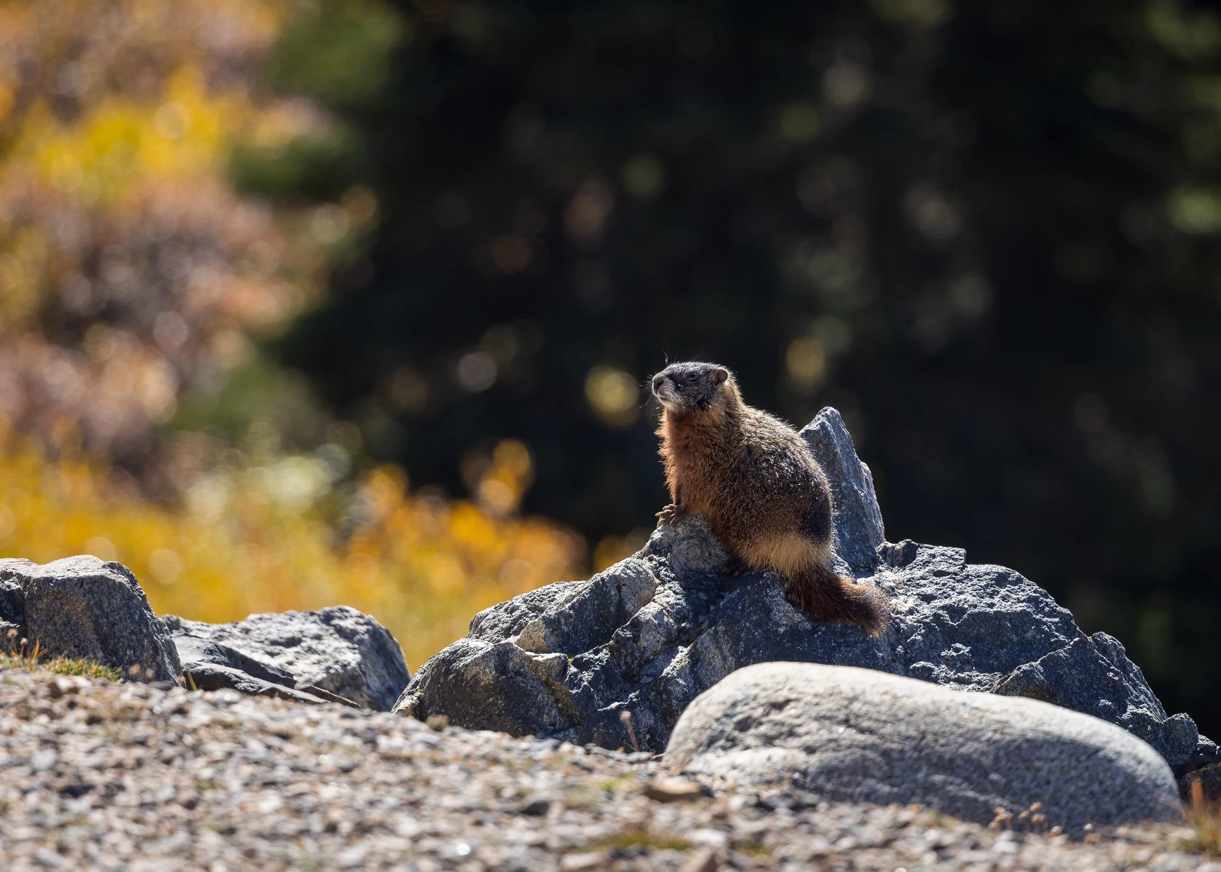
I consider these bonus shots, I had pulled off to take the quick iPhone pano above and when I turned to walk back to the Jeep this marmot was sitting on the rock about 10 feet from the driver’s door. Quietly I alerted Christina and retrieved my camera from the back seat and was able to get a few shots before it turned and ran off.
A beautiful crystal clear alpine lake just off the highway.
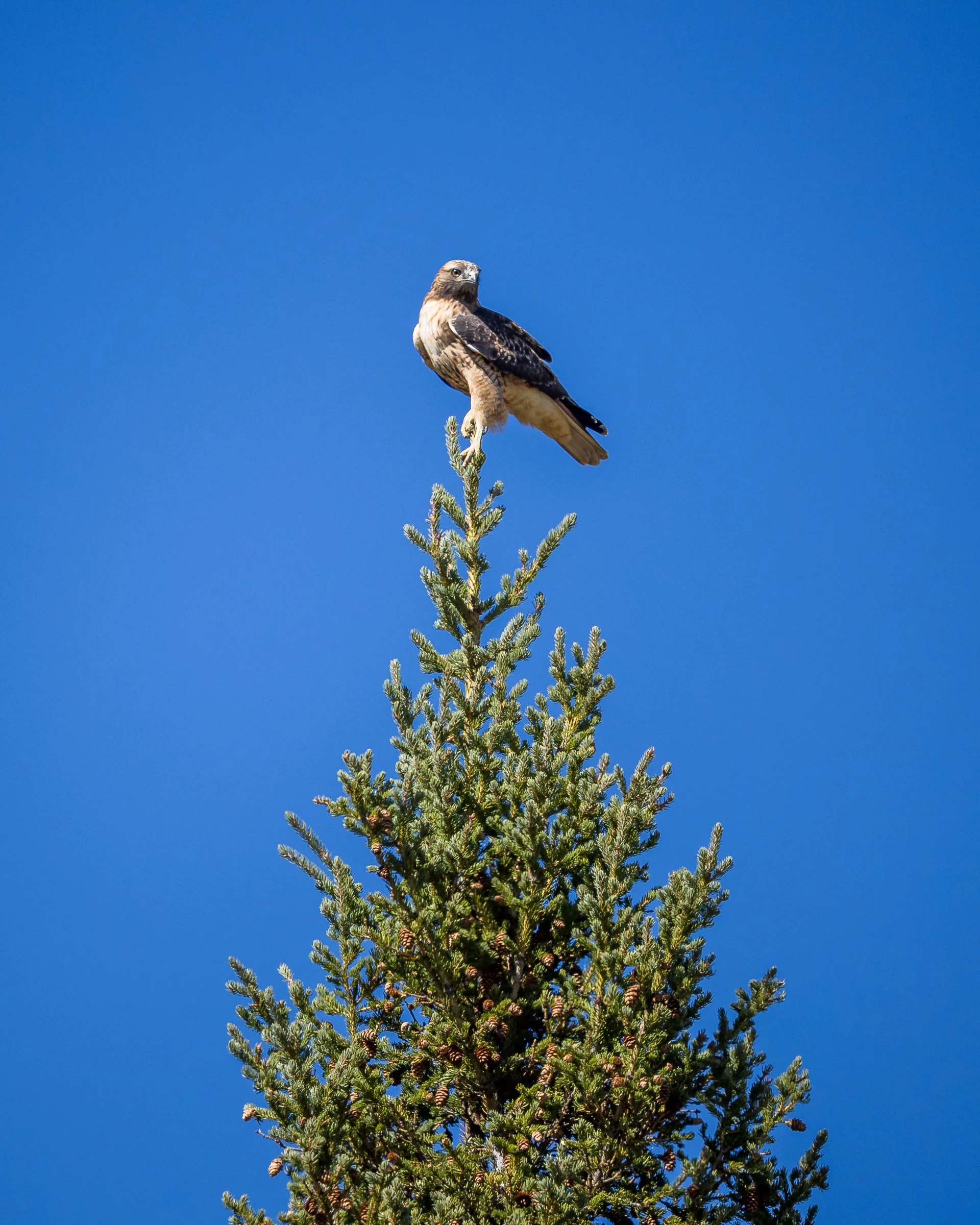
A juvenile Red Tailed Hawk perched atop a Engelmann spruce
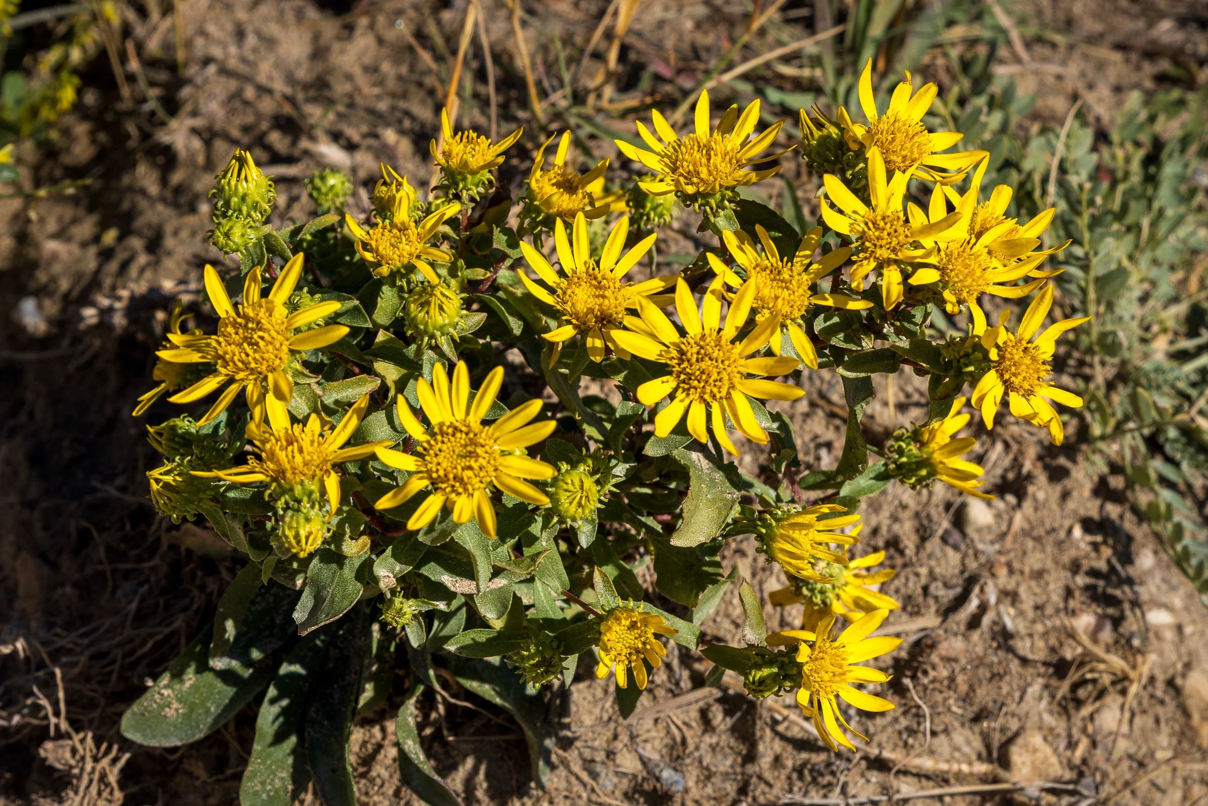
Some roadside flowers
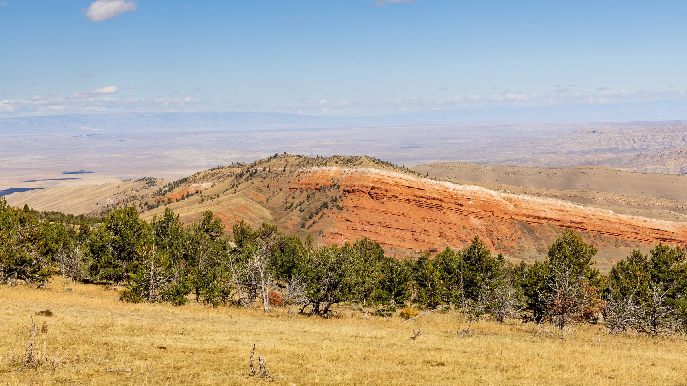
The landscape changed as we neared Cody. And this remind me of Utah and the area around Zion
Day 3 - Cody to Jackson
Today’s plan was to head east out of Cody, WY pass along the Buffalo Bill Reservoir through the Shoshone National Forest, into Yellowstone National Parks East entrance and make our way to Yellowstone Lake. From there we would head south leaving Yellowstone and into Grand Teton National Park eventually making our way to Jackson, WY. If you look at the map it’s only 180 miles but there’s so much to see on this leg.
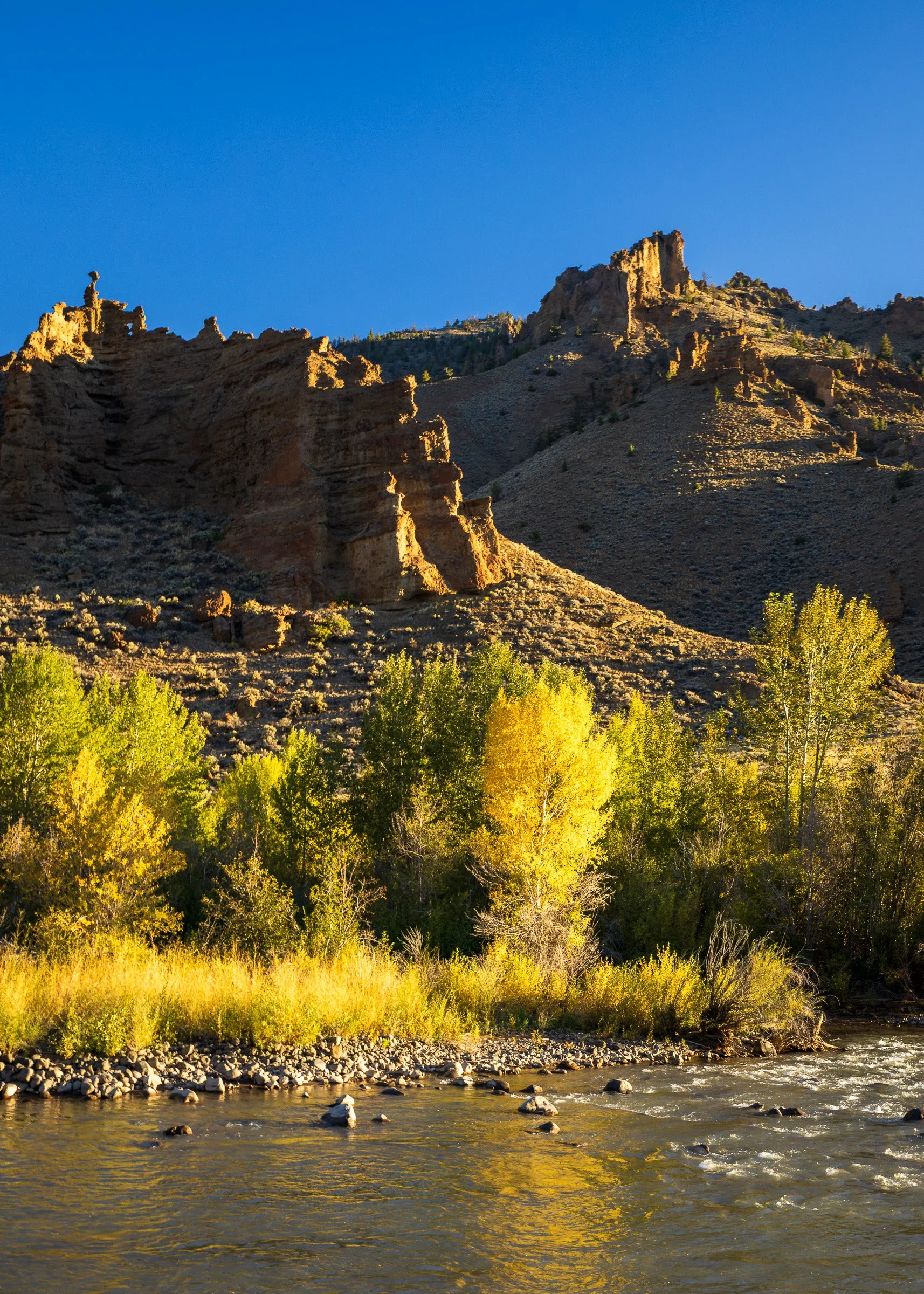
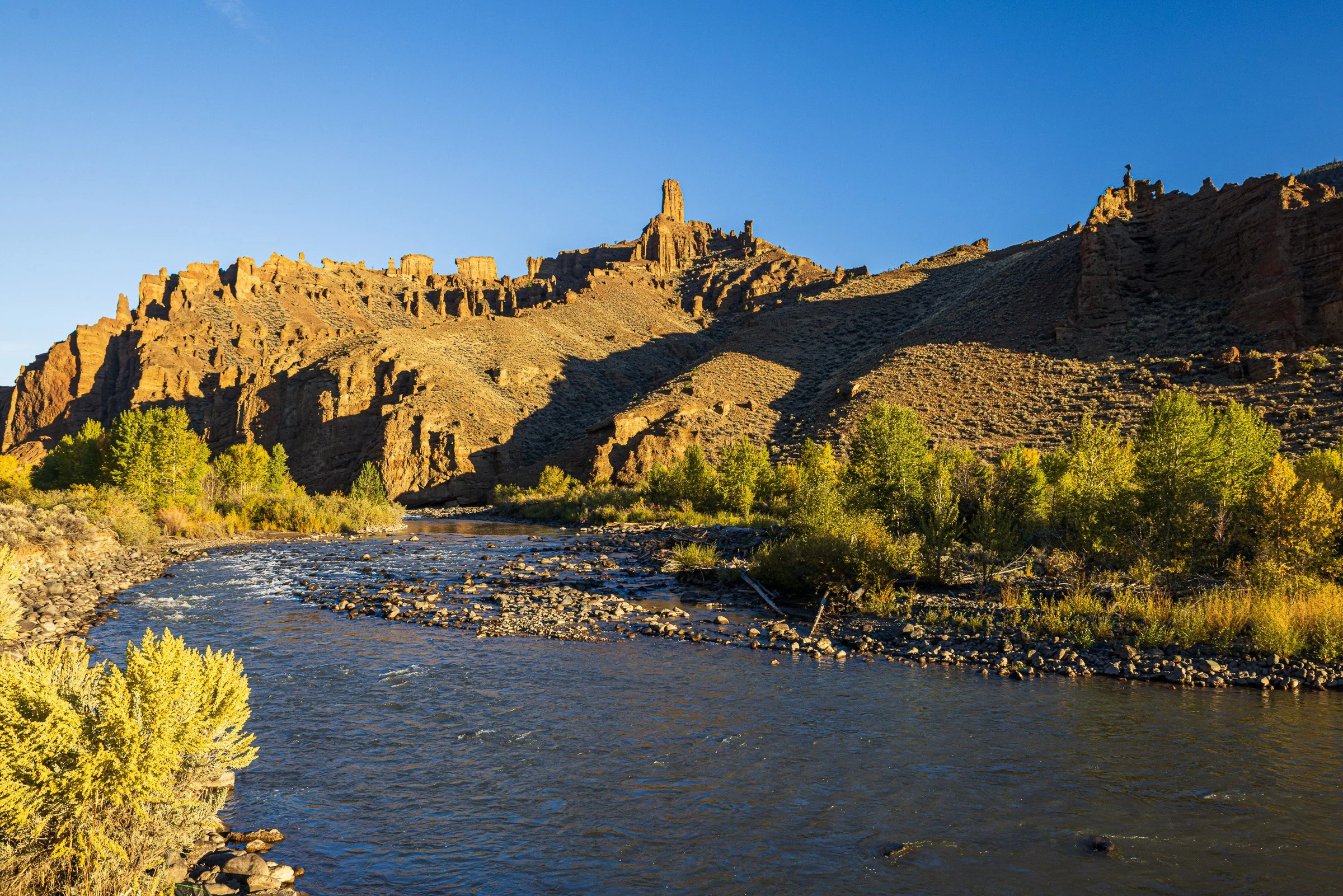
A bit of fall color in the morning light along the North branch of Shoshone River
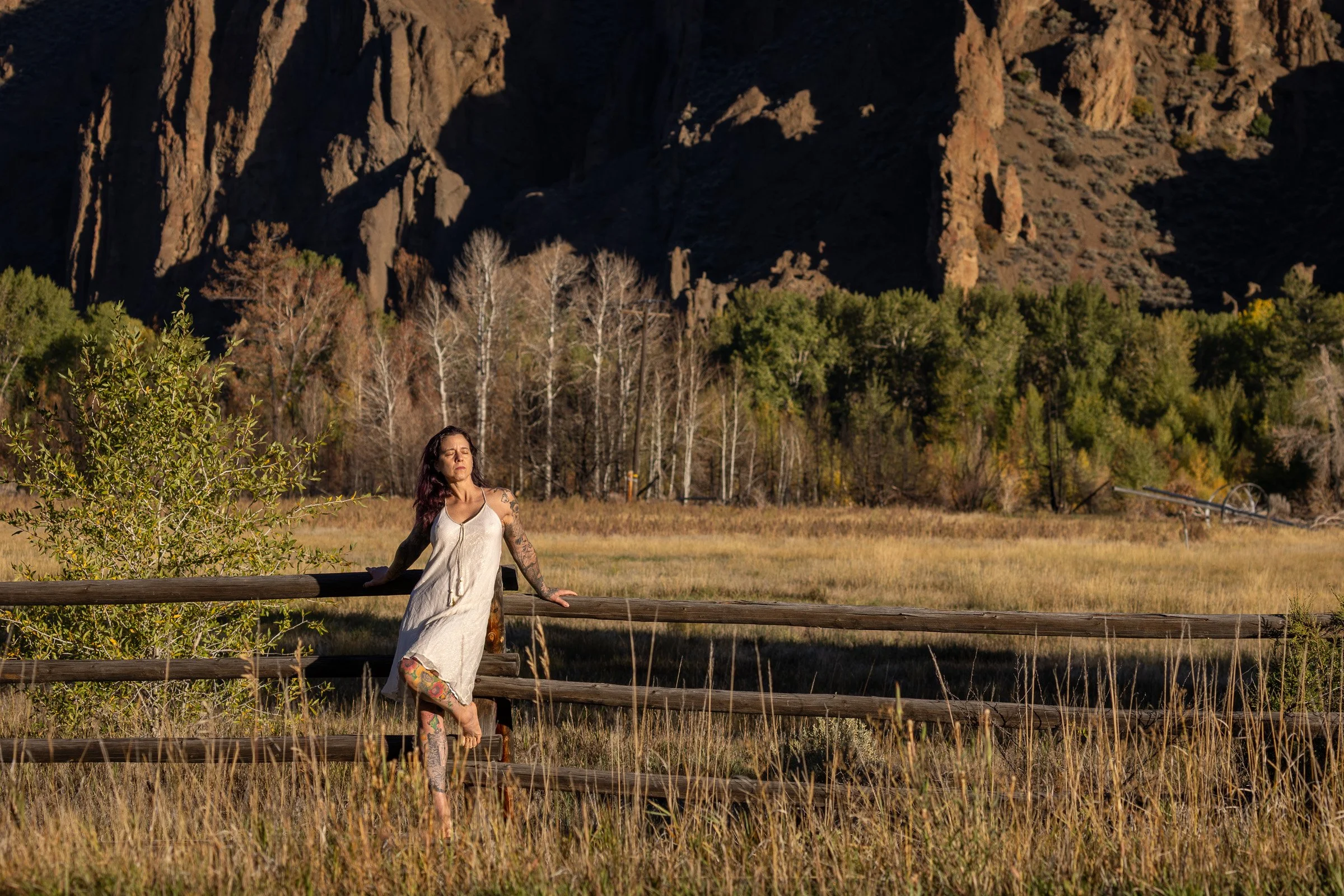
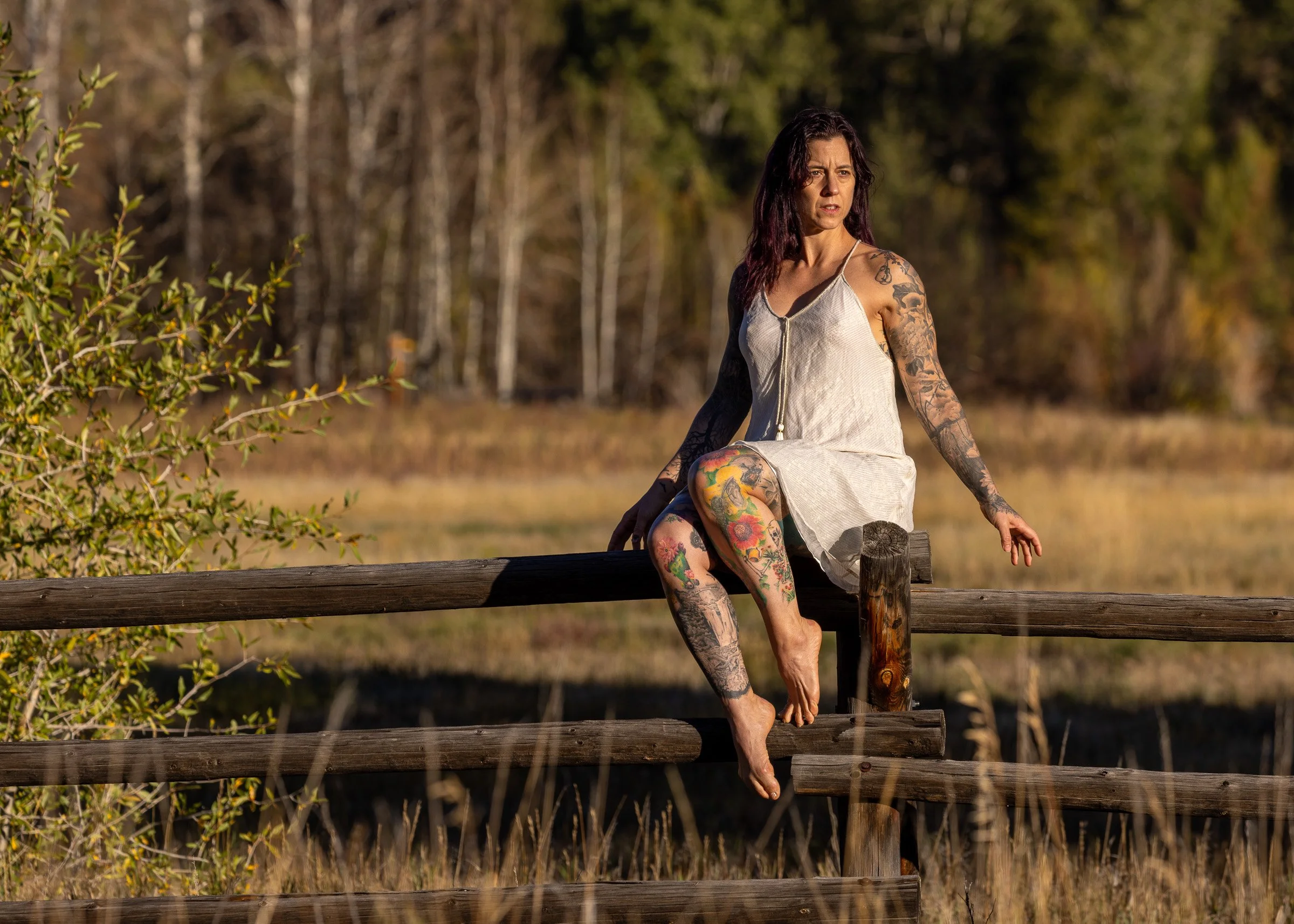
Christina modeling her sparkly dress in the beautiful morning light along a Buck and Rail fence Wapitit US Forest Service Ranger Station
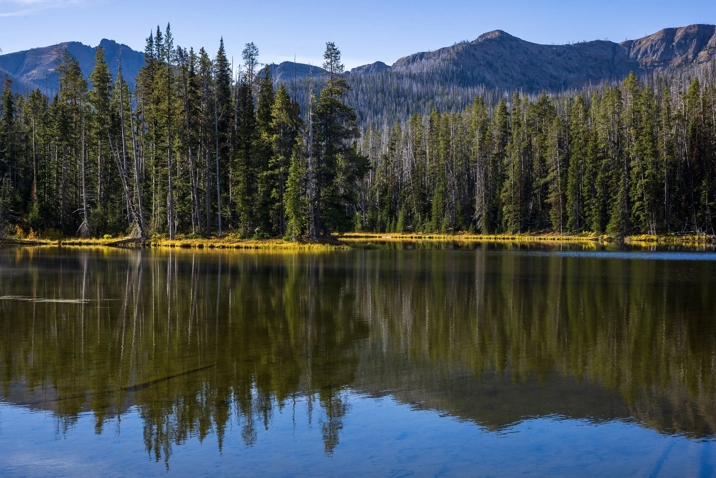
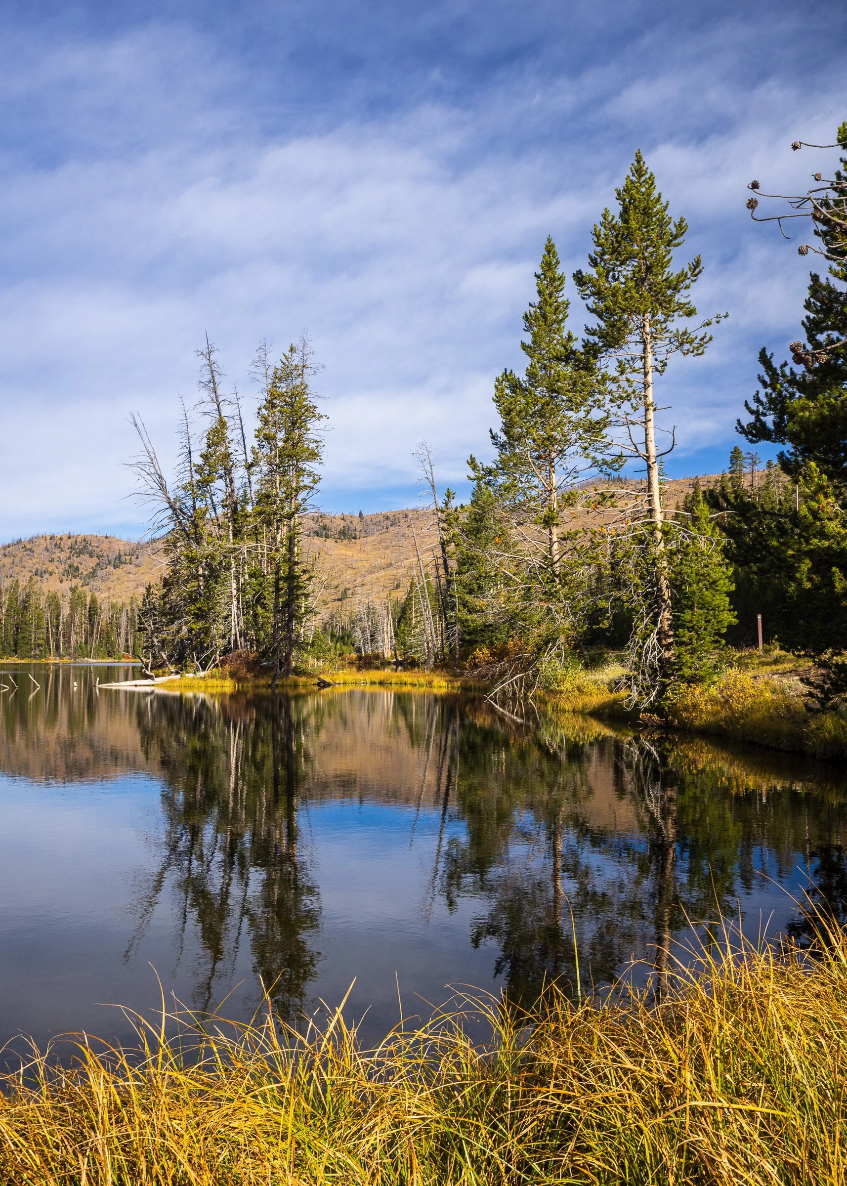
Sylvan Lake in Yellowstone National Park
Yellowstone Lake from the Lake Butte Overlook
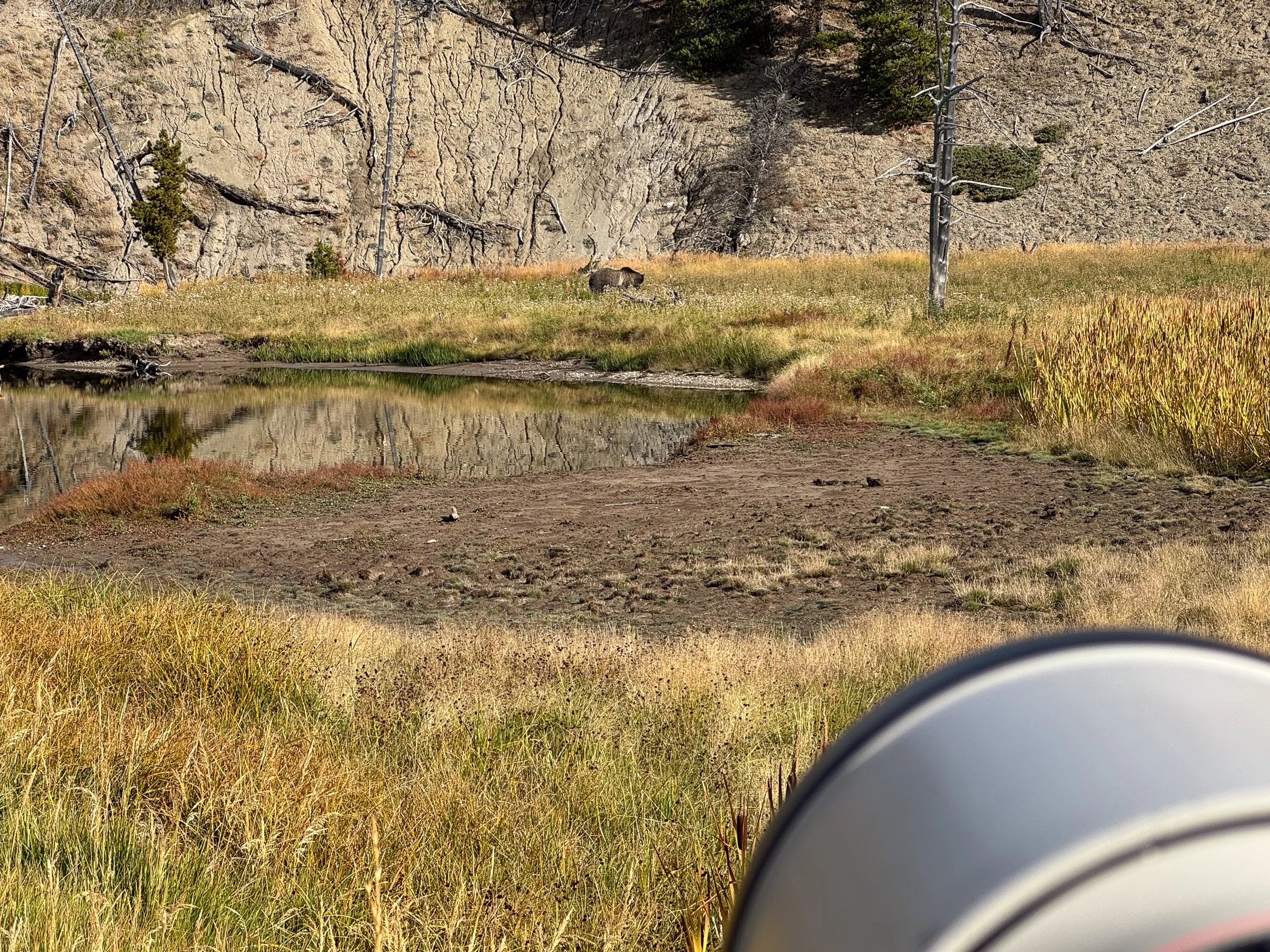
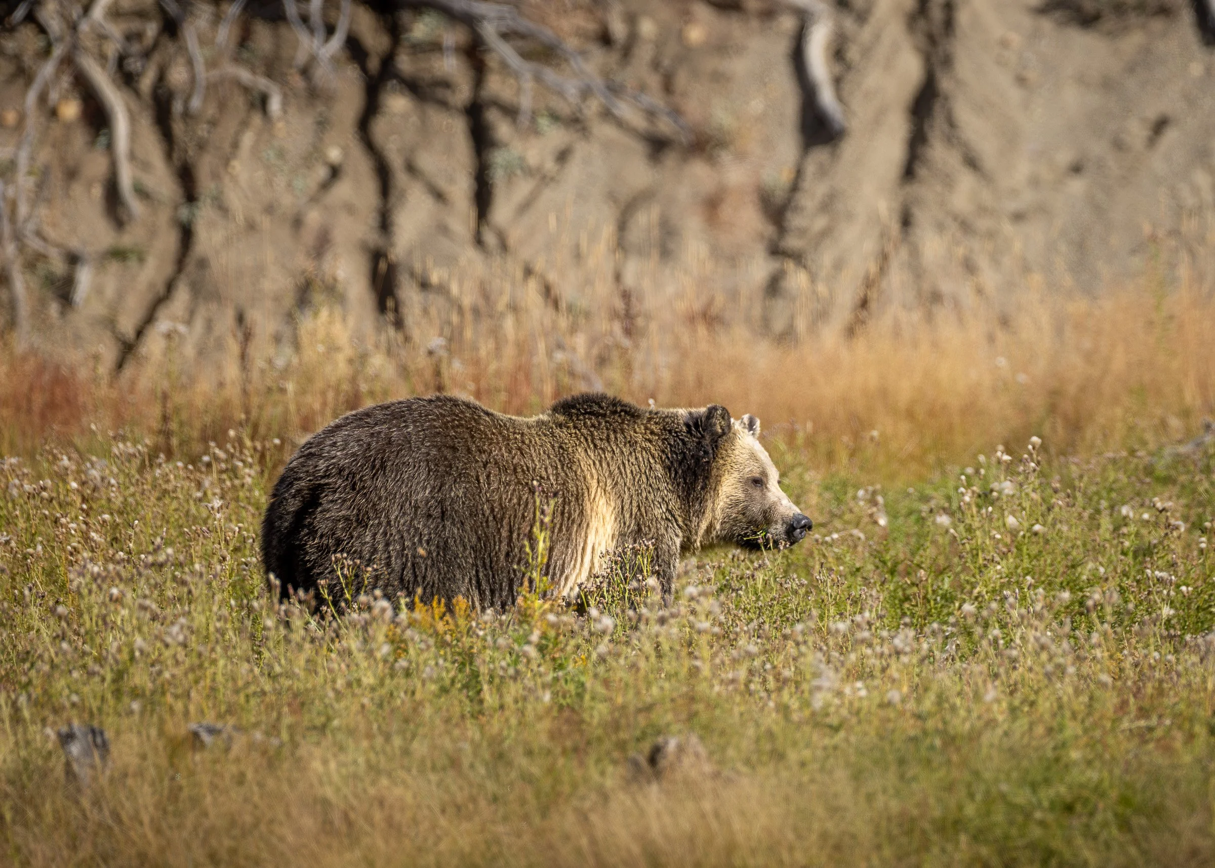
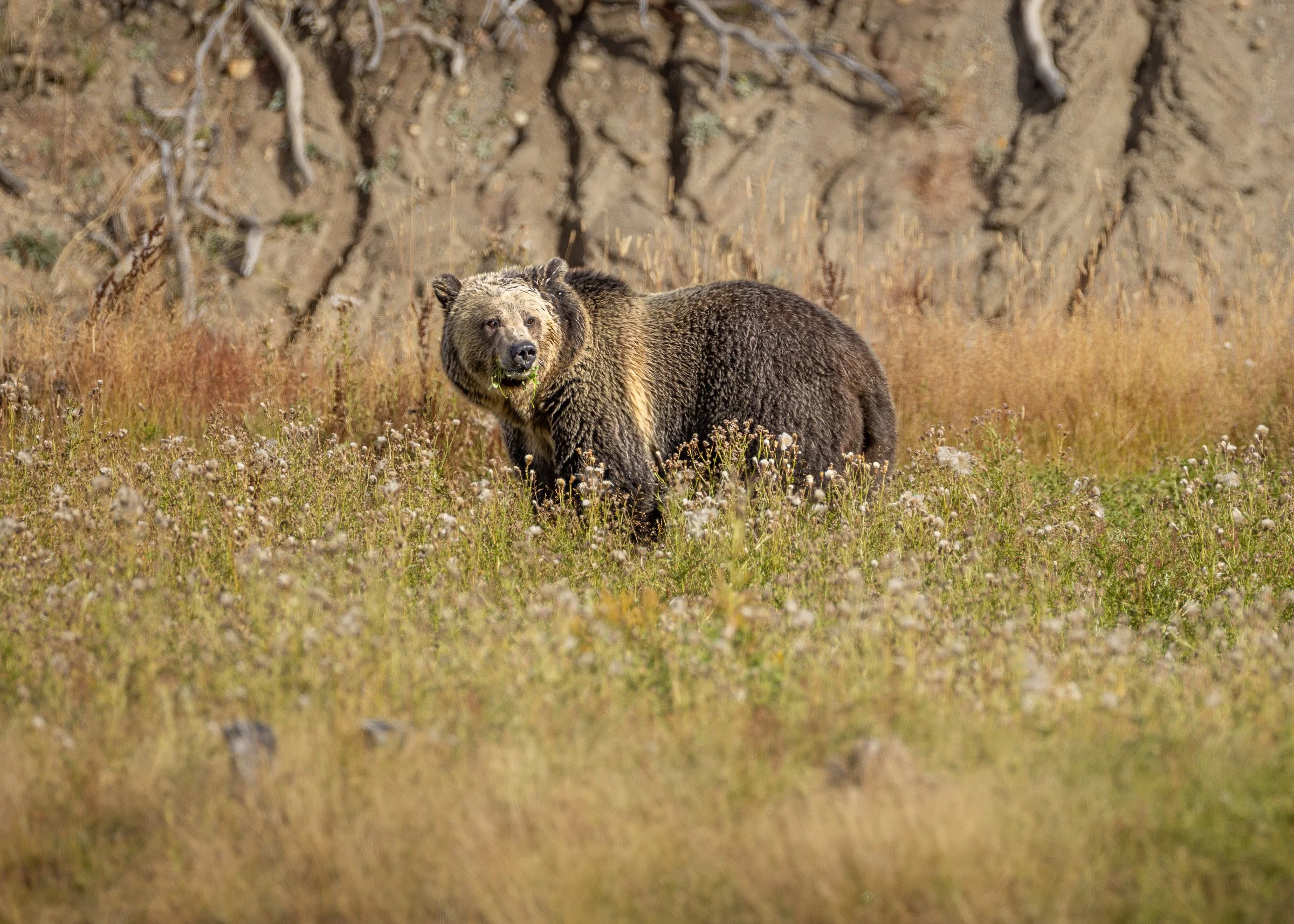
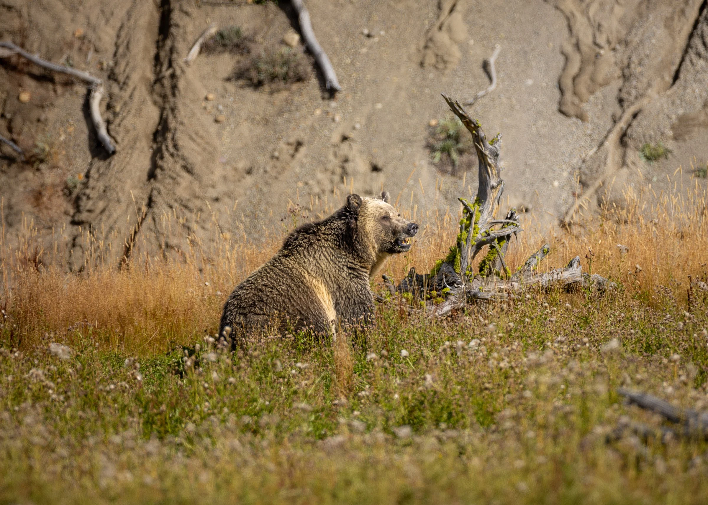
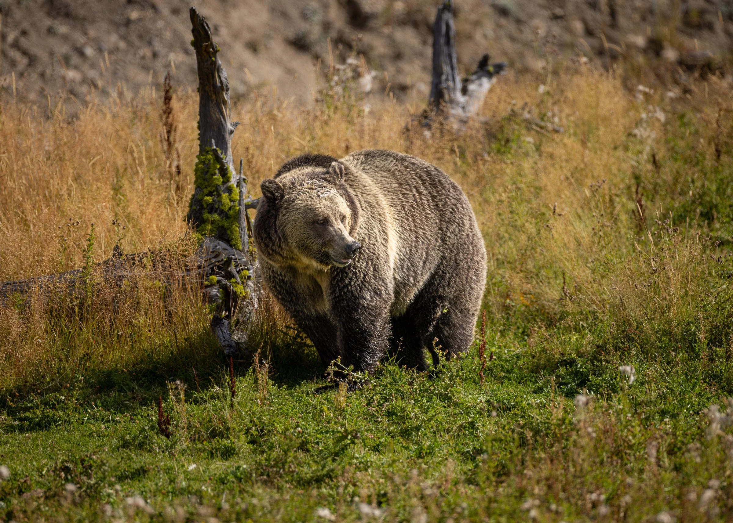
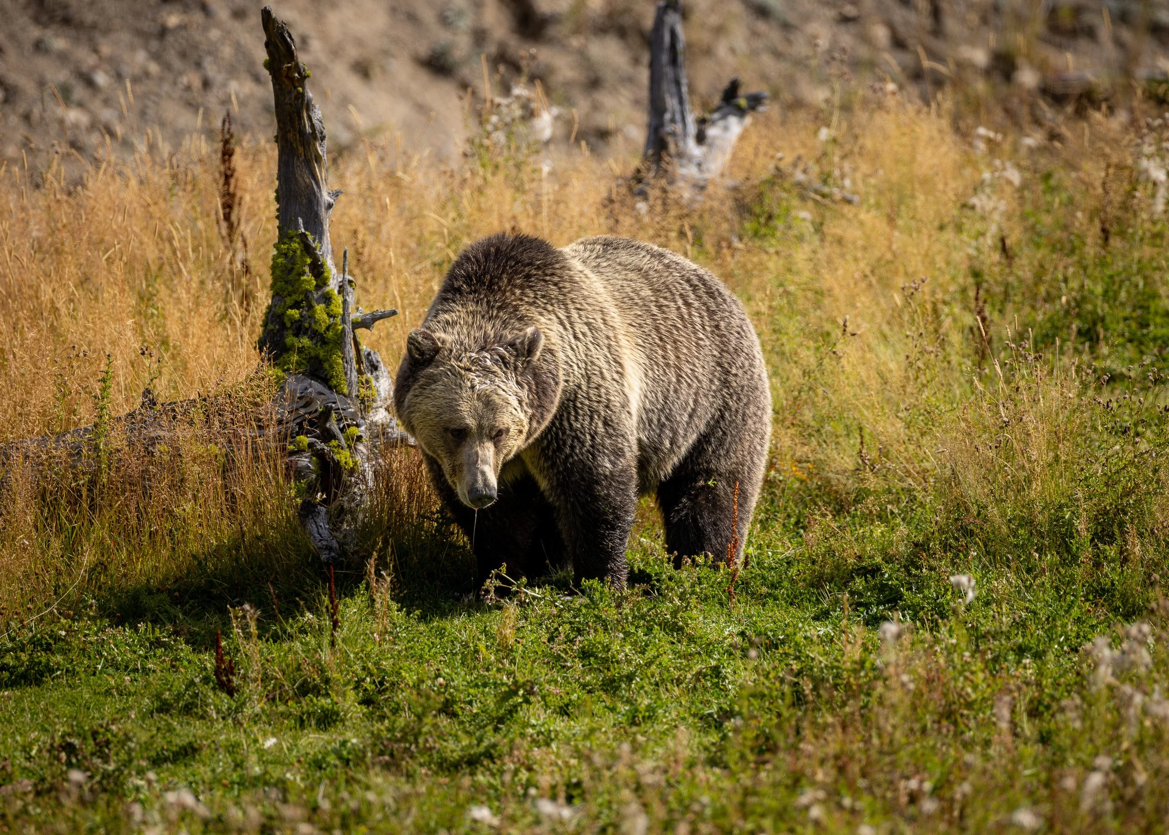
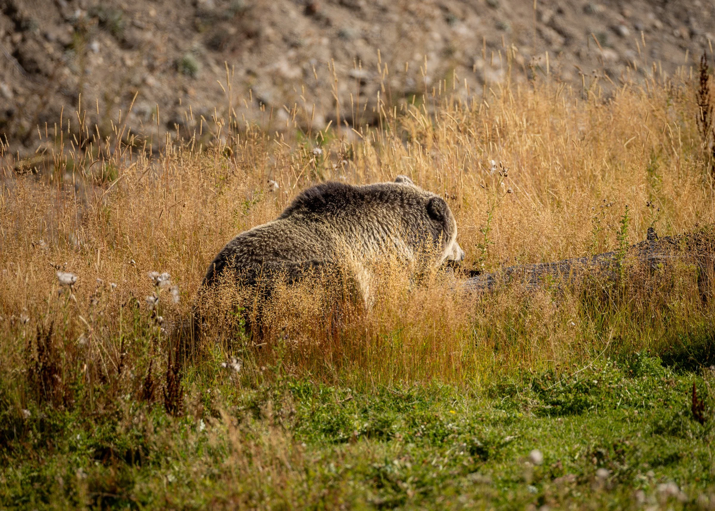
“Snow” a well know grizzly foraging along the road where the Sedge Creek empty’s into Yellowstone Lake
A young bald eagle resting high in a dead tree
A bit further along our travels we came across a crowd at a pull off so we joined them and got to watch a lone wolf feeding on a elk carcass.
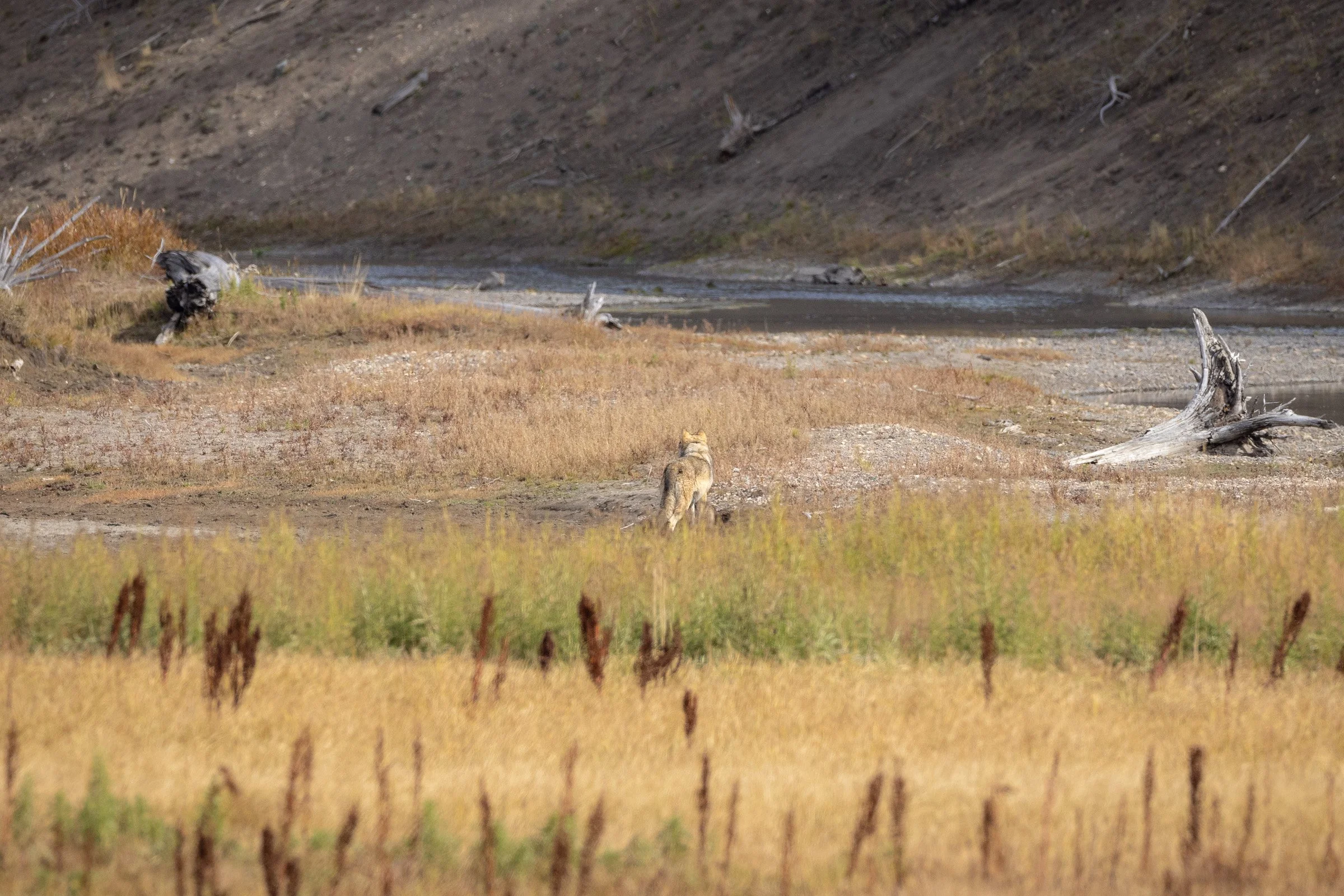
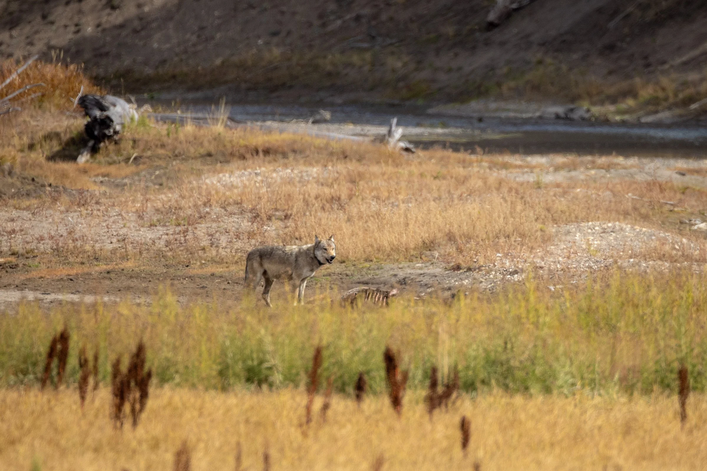
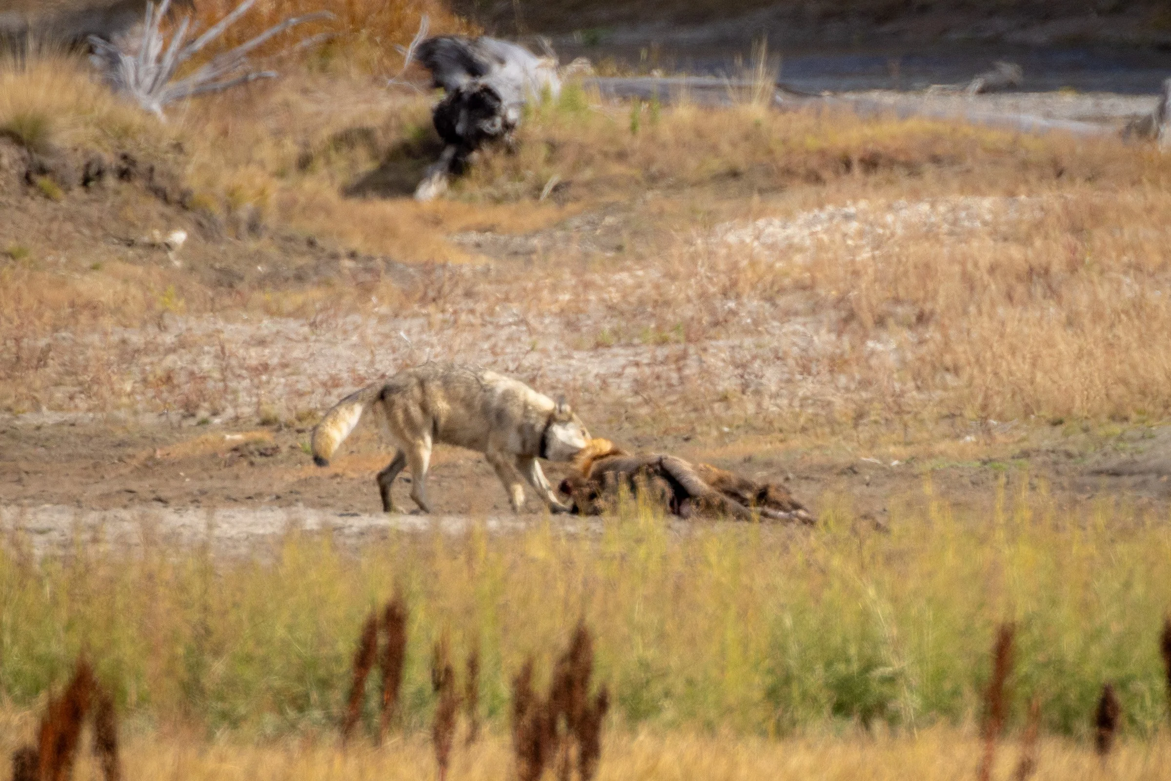
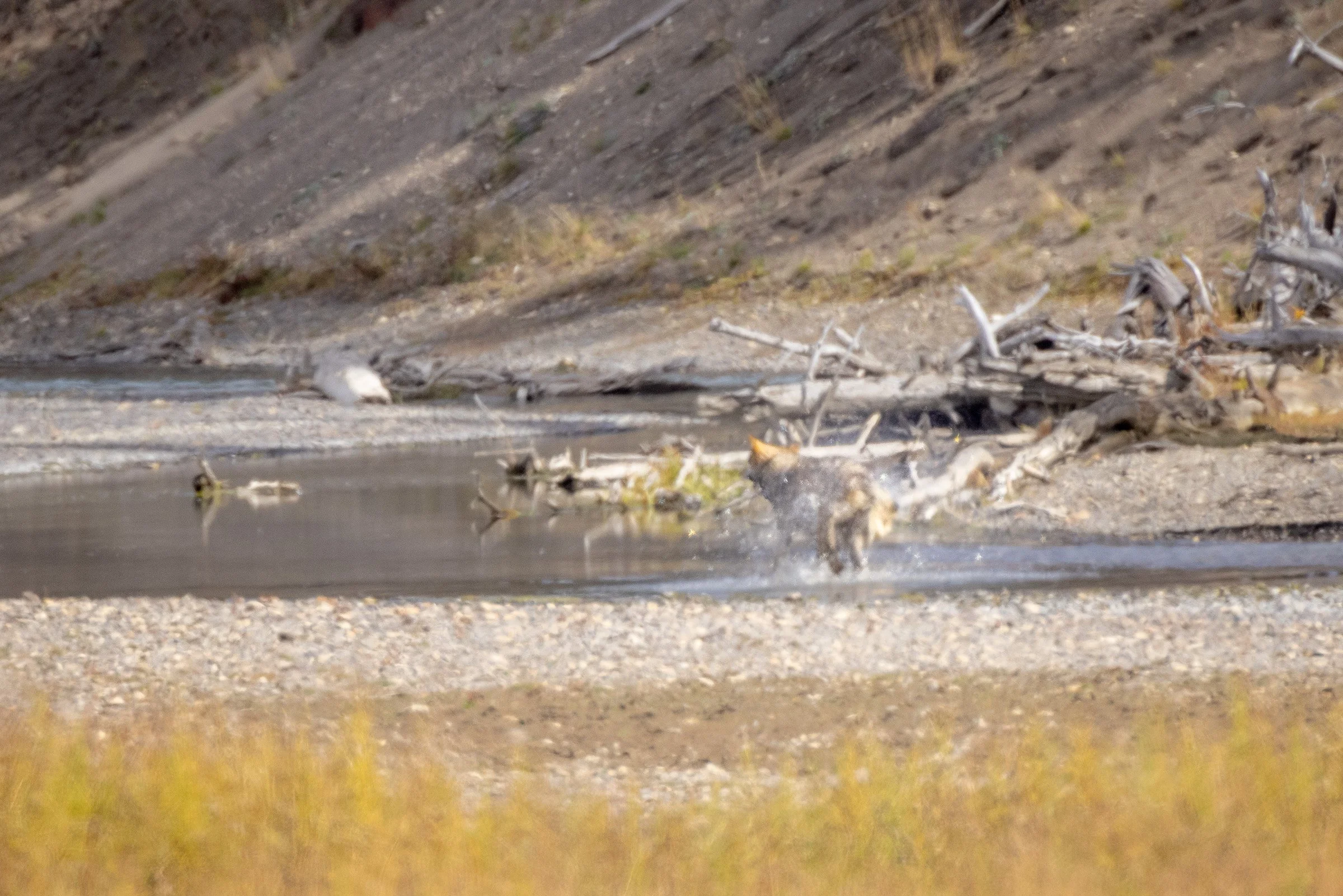
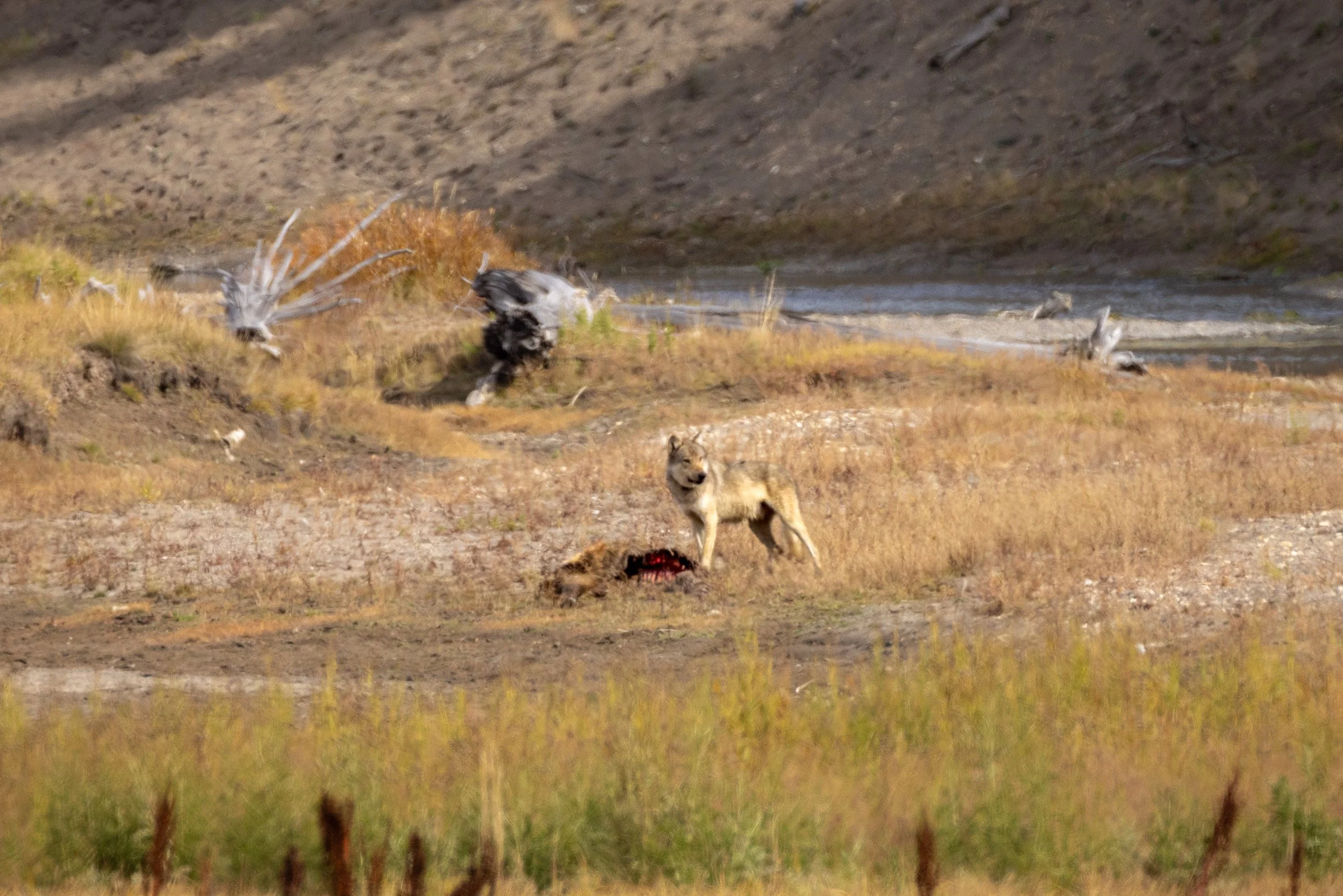
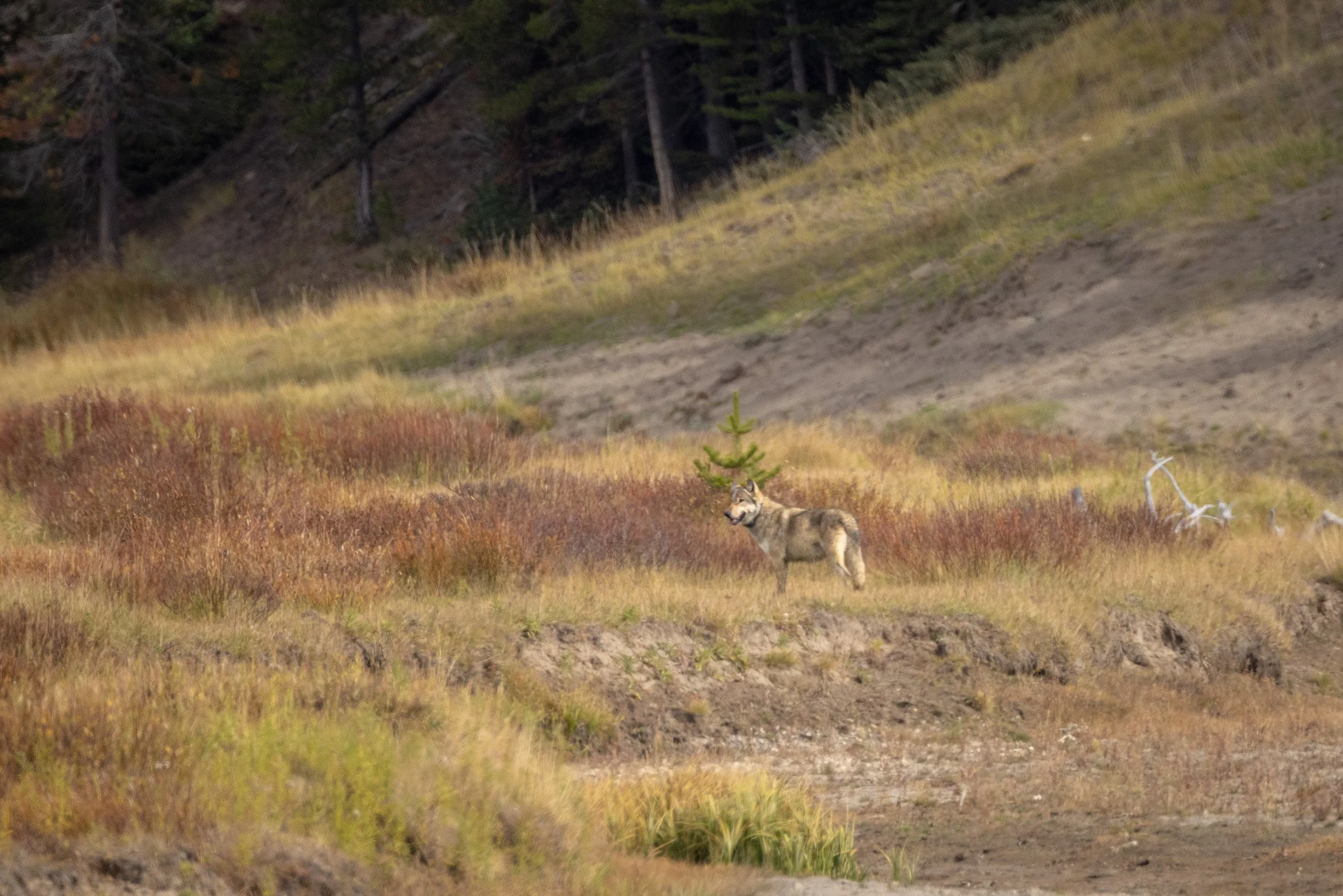
These shots were taken at a long distance at an effective crop of between 1000 and 2000mm so they are a little soft but it was still a thrill to be able to witness.
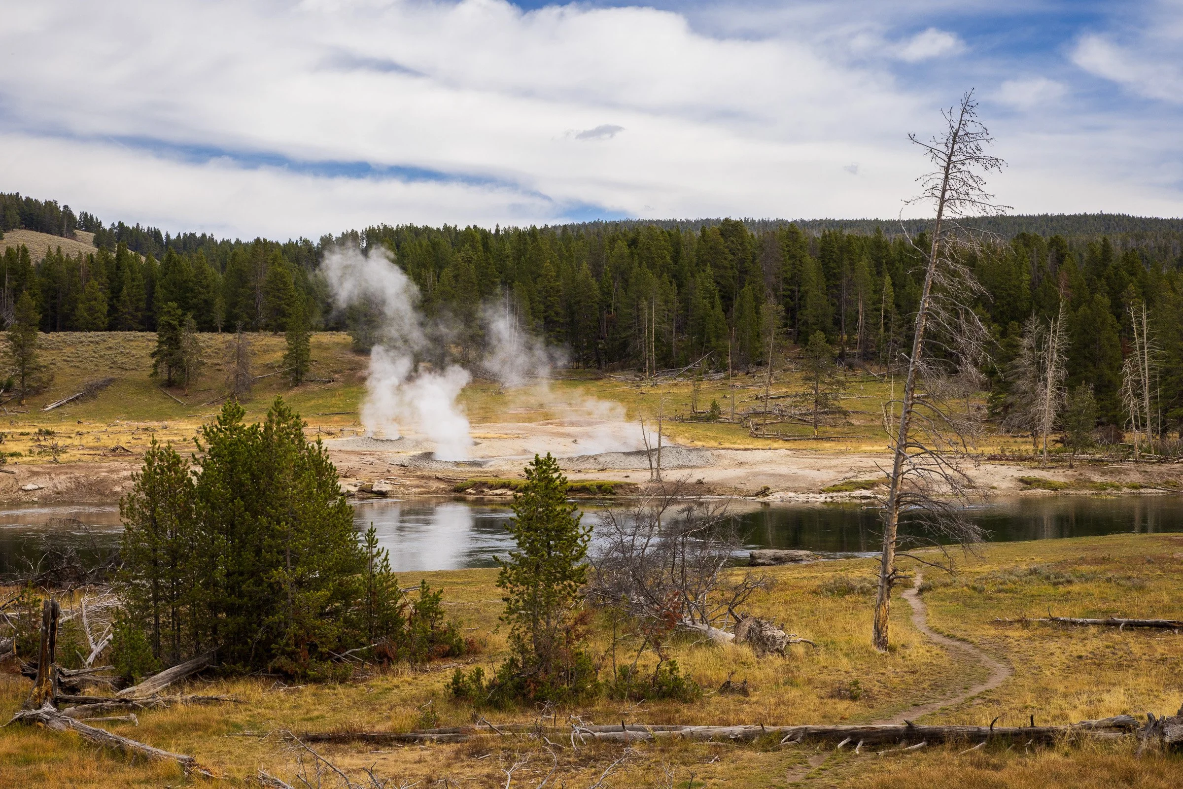
A thermal area in the Haden Valley
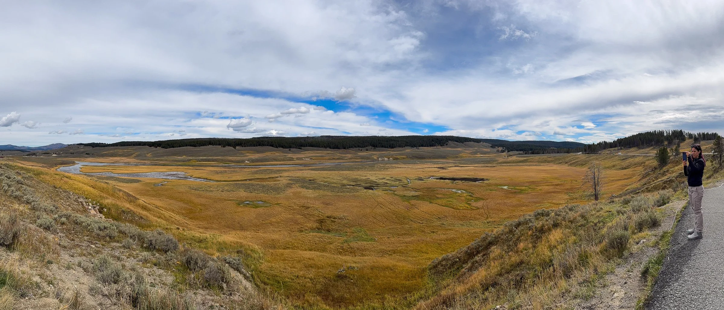
iPhone pano from one of the Haden Valley pull offs
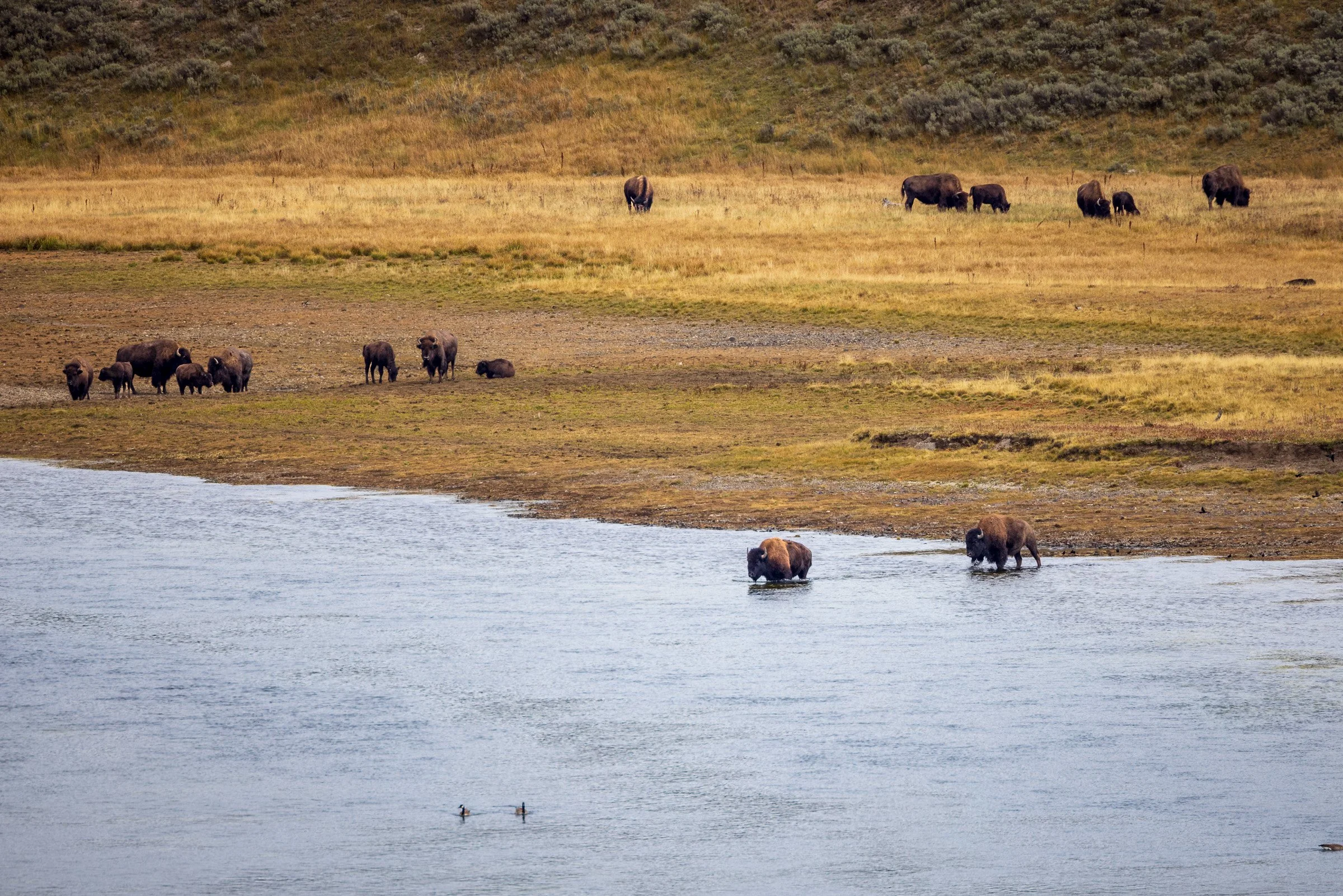
A small heard of Bison gathered along the Yellowstone River and then 2 of them head off to cross the river
Lewis Falls
A small beaver dam on a stream adjacent to the Lewis river
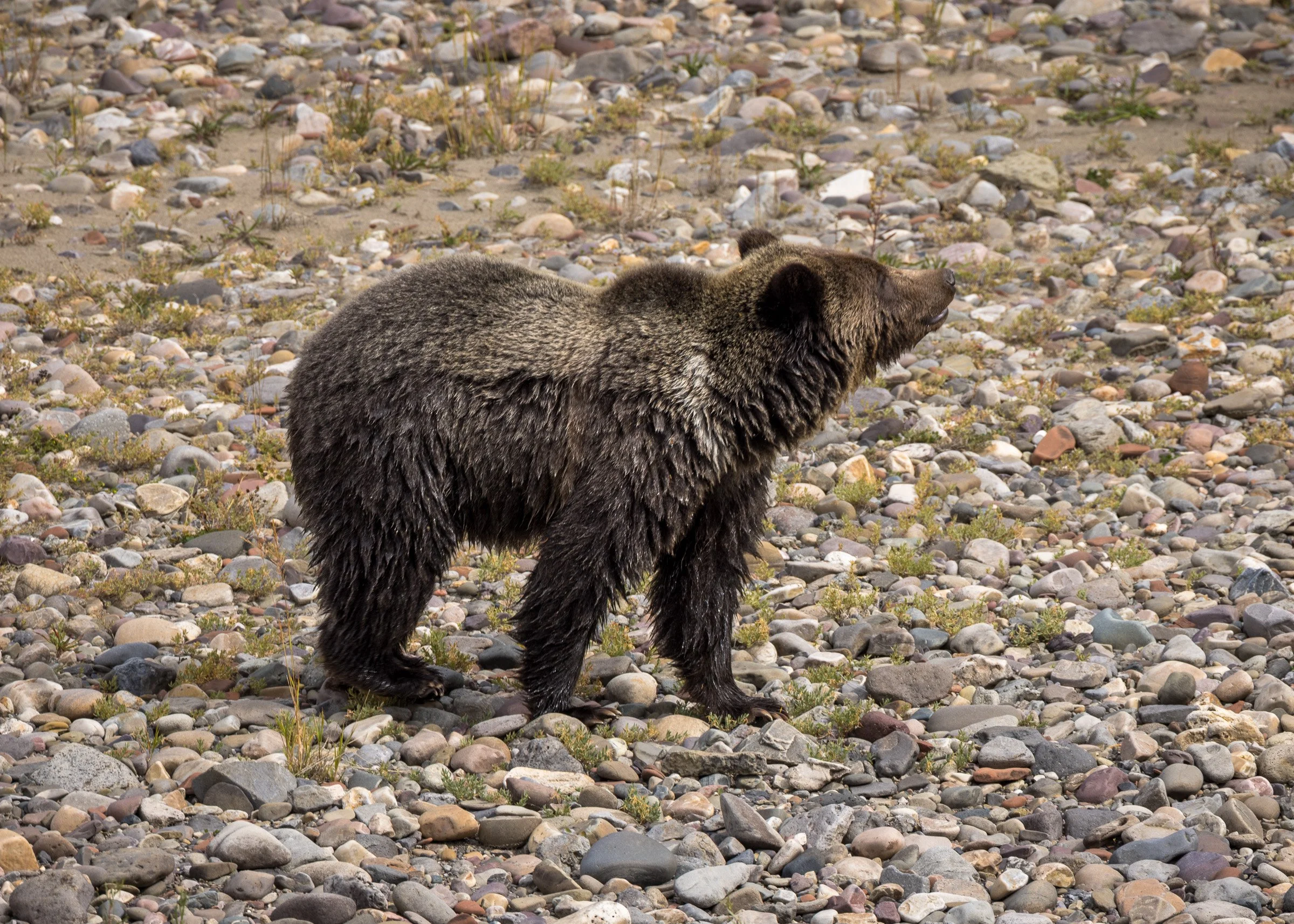
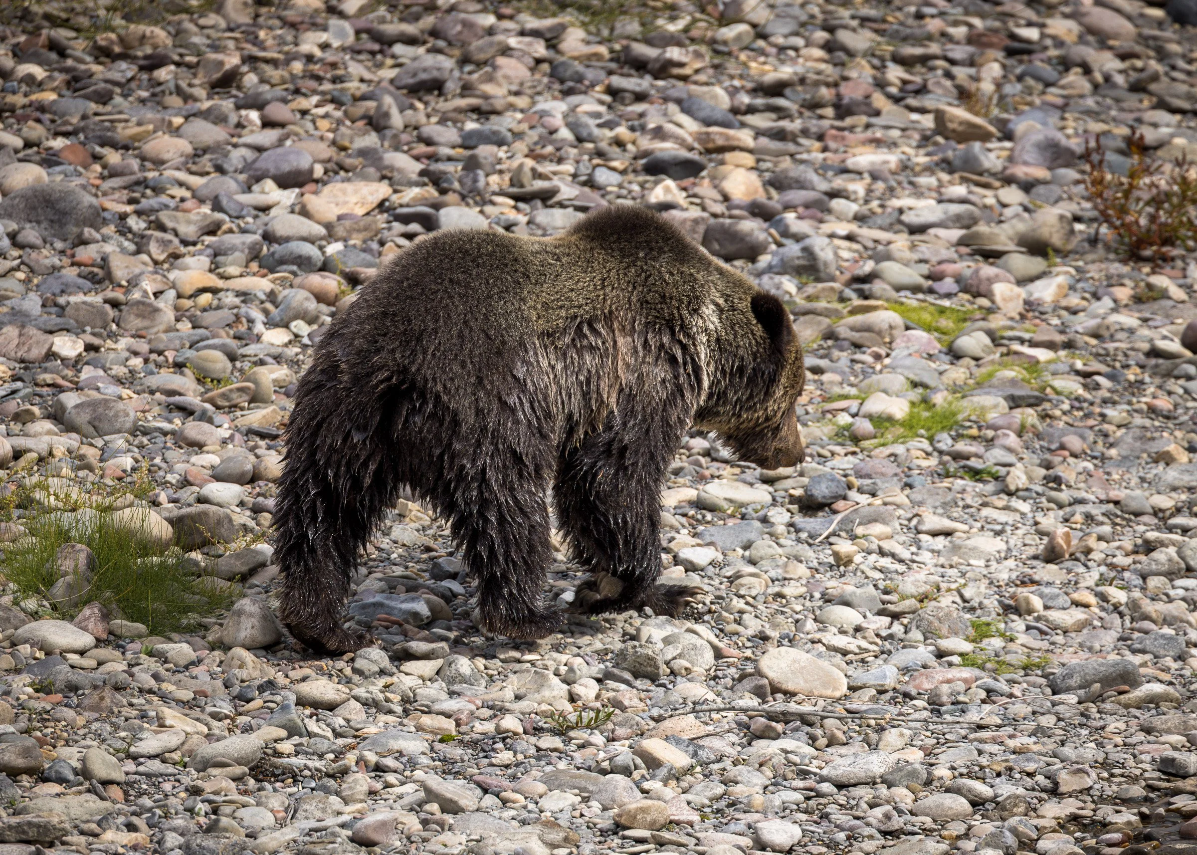
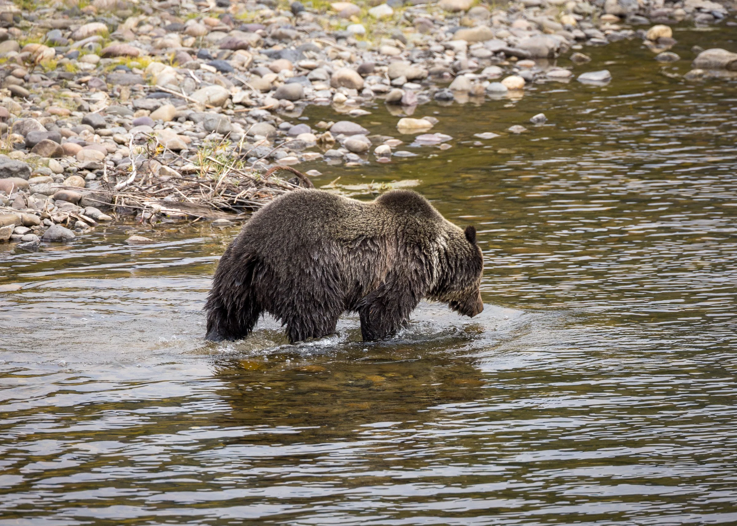
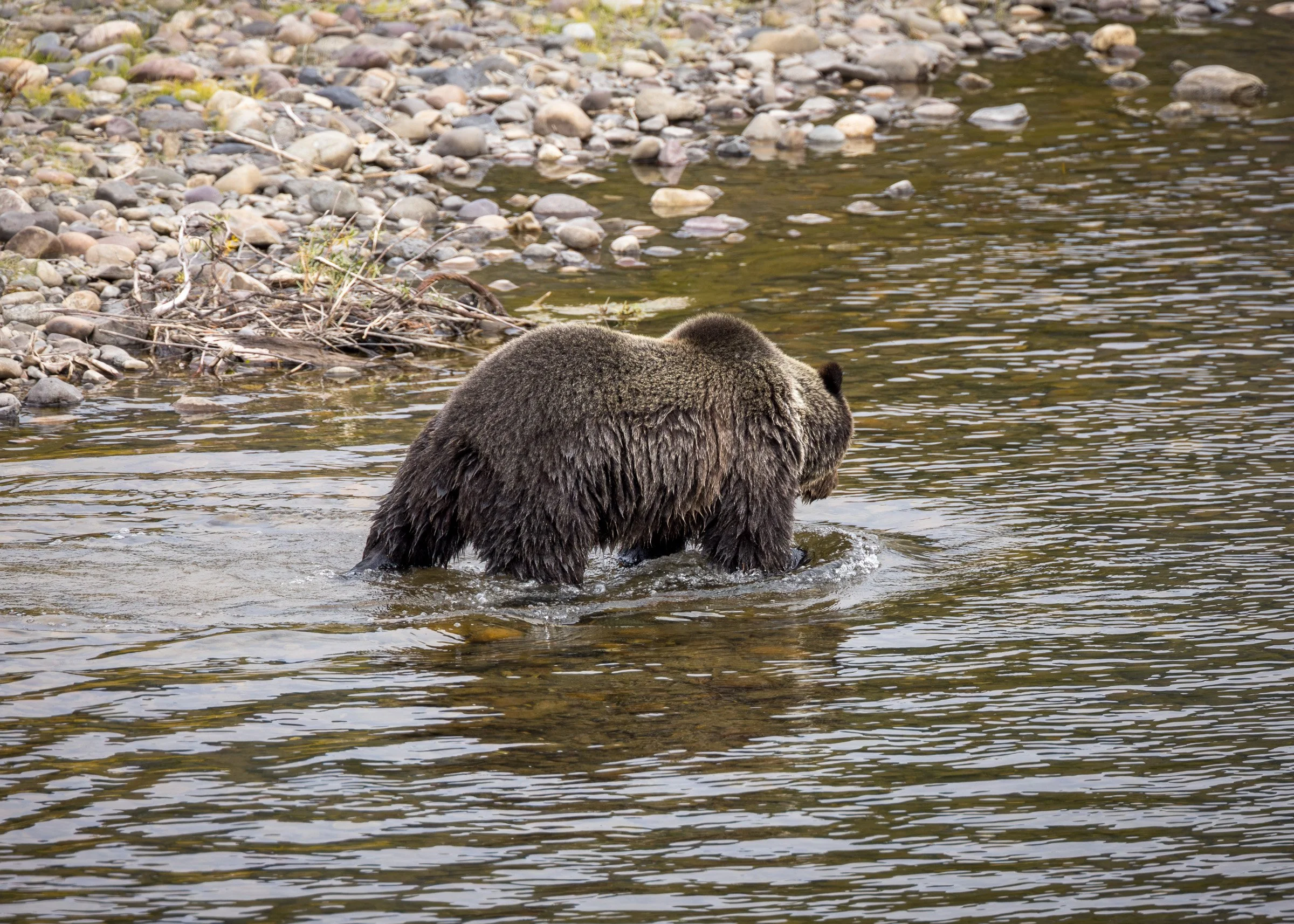
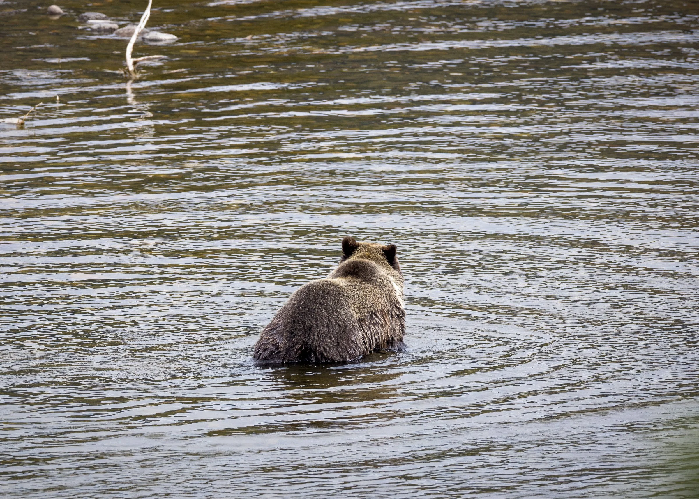
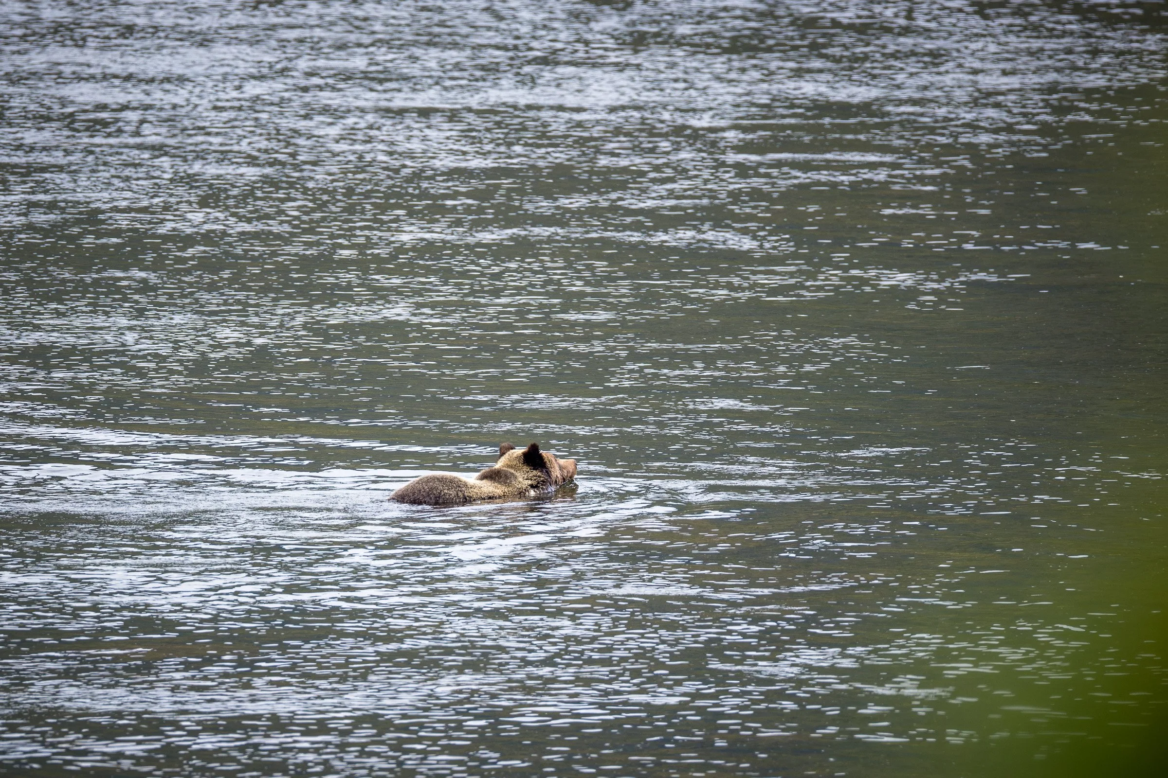
Heading further south just as we exited Yellowstone we cam across another grizzly exploring along the side of the creek and then it eventually crossed
Oxbow Bend in the northern end of Grand Teton National Park
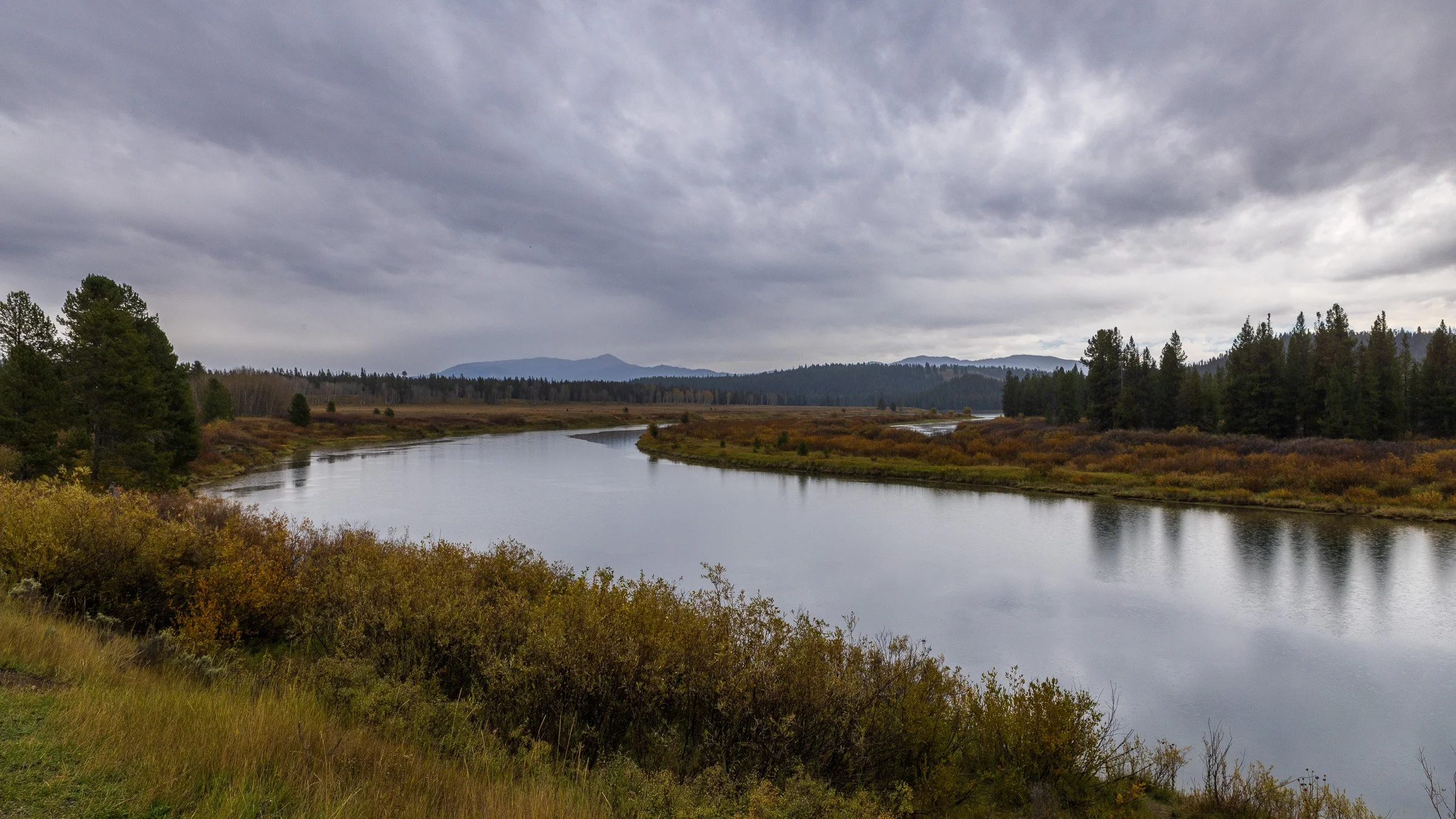
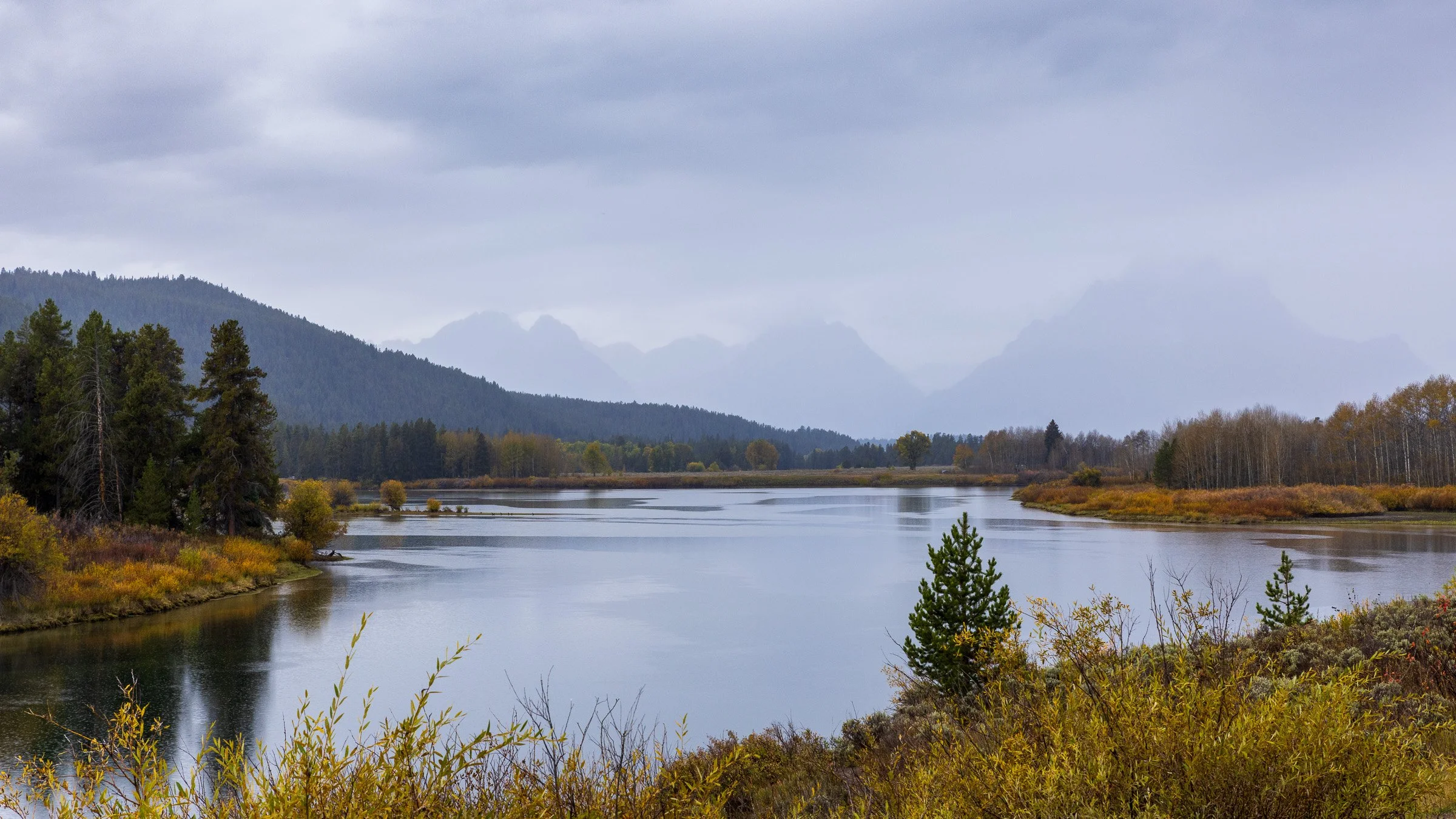
The Teton range obscured by clouds
The John Moulton barn at Mormon Row
Day 4 - Grand Teton National Park
Next